File:Maps In The Puerto Rico 2010 Census Of Population And Housing Page 139.jpg
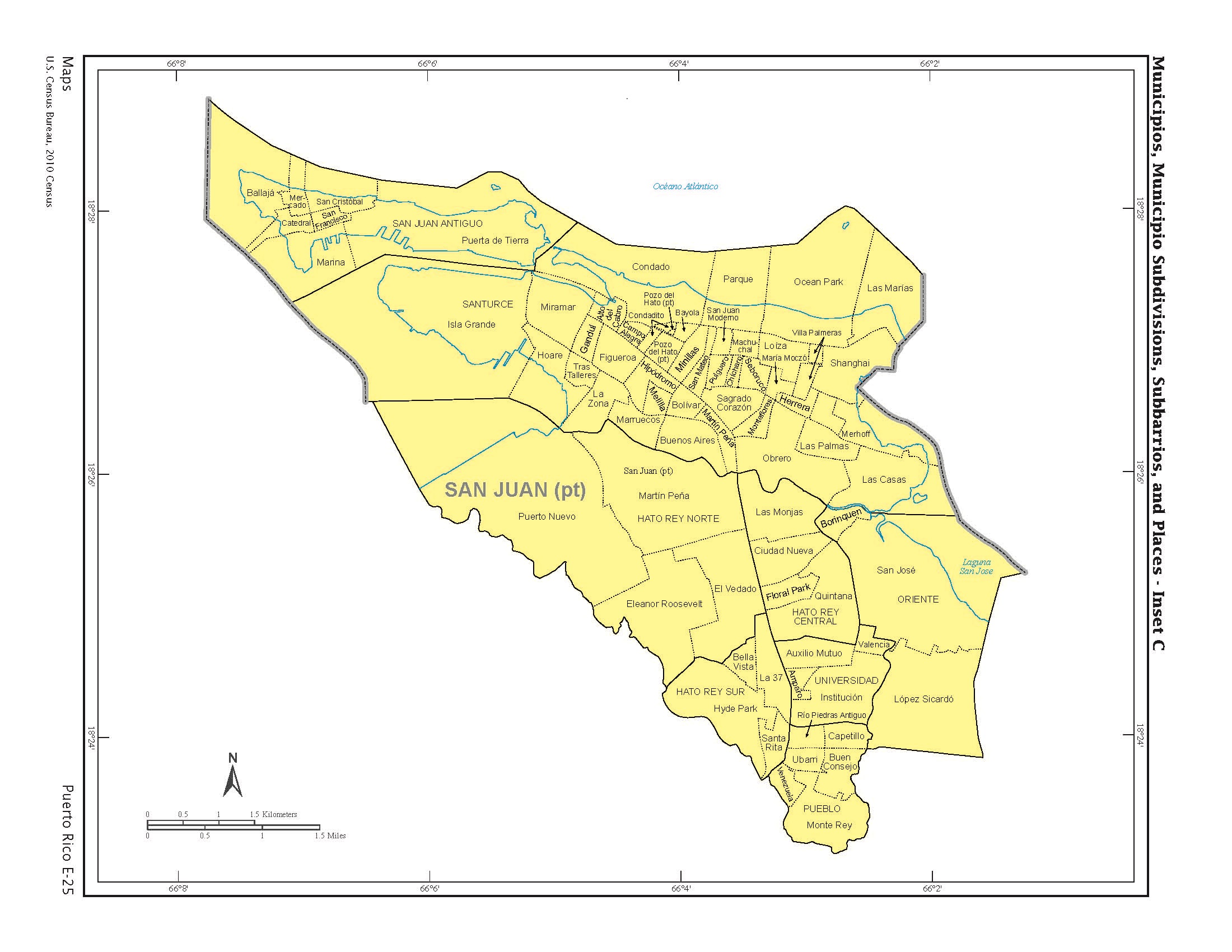
https://creativecommons.org/publicdomain/mark/1.0/PDMCreative Commons Public Domain Mark 1.0falsefalseUS 2010 Census map of Municipios, Municipio Subdivisions, Subbarrios, and Places of San Juan in Puerto Rico
File history
Click on a date/time to view the file as it appeared at that time.
| Date/Time | Thumbnail | Dimensions | User | Comment |
|---|
| current | 16:22, 7 September 2020 |  | 2,200 × 1,700 (495 KB) | The Eloquent Peasant | Uploaded a work by US Census Bureau from https://permanent.access.gpo.gov/gpo35934/cph-2-53.pdf (page E-25 on pdf pg 139) with UploadWizard |
File usage
The following pages on the English Wikipedia use this file (pages on other projects are not listed):
This file contains additional information, probably added from the digital camera or scanner used to create or digitize it.
If the file has been modified from its original state, some details may not fully reflect the modified file.
