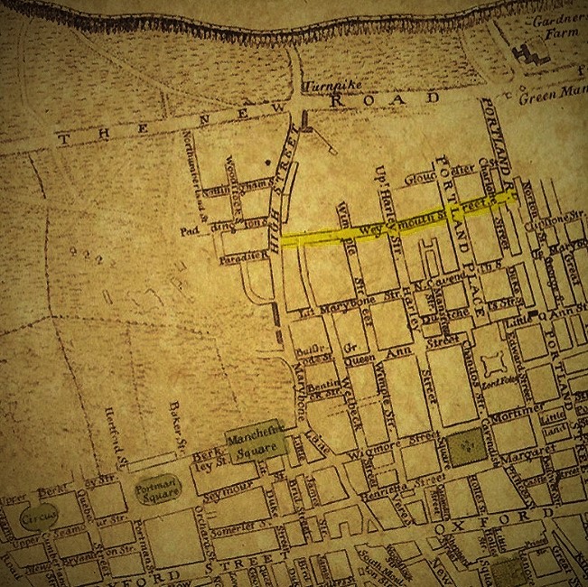
File:Marylebone Map Clipping From Neuester Grundriss Von London Westminster Und Southwark 1770.jpg
LinkNeuester Grundriss von London, Westminster, und Southwark
Plan : Kupferdruck ; 36 x 67 cm
c. 1770
Author
Liebe, Gottlob August
| Camera location | | View this and other nearby images on: OpenStreetMap |
|---|
Licensing
|
This work is in the public domain in its country of origin and other countries and areas where the copyright term is the author's life plus 70 years or fewer. This work is in the public domain in the United States because it was published (or registered with the U.S. Copyright Office) before January 1, 1929. | |
| This file has been identified as being free of known restrictions under copyright law, including all related and neighboring rights. | |