File:Matewan West Virginia Aerial View.jpg
| Camera location | | View this and other nearby images on: OpenStreetMap |
|---|
| Camera location | | View this and other nearby images on: OpenStreetMap |
|---|
Click on a date/time to view the file as it appeared at that time.
| Date/Time | Thumbnail | Dimensions | User | Comment | |
|---|---|---|---|---|---|
| current | 04:32, 23 March 2007 | 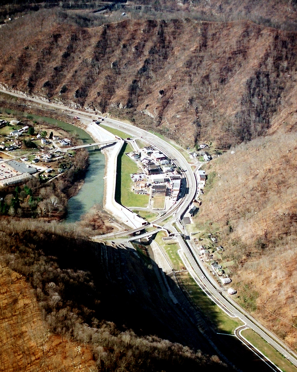 | 1,199 × 1,500 (712 KB) | DanMS | {{Information | Description = {{en|Matewan, West Virginia, USA, along the Tug Fork River. The town is protected by a large floodwall constructed by the U.S. Army Corps of Engineers.}} | Source = U.S. Army Corps of Engineers Digital Visual Libra |
The following page uses this file:
The following other wikis use this file: