File:Mediterranean1400.png
Click on a date/time to view the file as it appeared at that time.
| Date/Time | Thumbnail | Dimensions | User | Comment | |
|---|---|---|---|---|---|
| current | 16:02, 19 April 2009 | 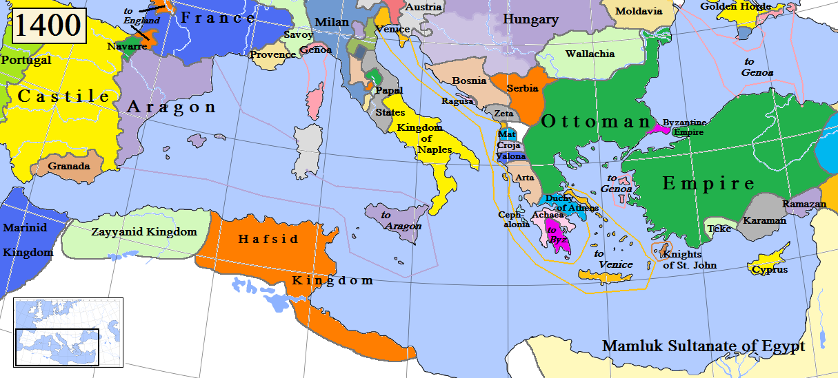 | 1,215 × 549 (187 KB) | Gabagool | Some corrections. |
| 16:32, 29 March 2009 |  | 1,215 × 549 (187 KB) | Gabagool | {{Information |Description={{en|1=Map of the Mediterranean region in AD 1400. (Partially based on Euratlas map of Europe, 1400.)}} |Source=Own work by uploader |Author=Gabagool |Date=2009-03-29 |Permission= |other_versions= }} <!--{{Im |
File usage
The following pages on the English Wikipedia use this file (pages on other projects are not listed):
Global file usage
The following other wikis use this file:
- Usage on bs.wikipedia.org
- Usage on ca.wikipedia.org
- Usage on de.wikipedia.org
- Usage on mk.wikipedia.org