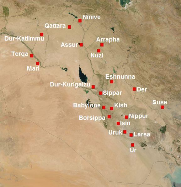
File:Meso2mil-English.JPG
Based on a recreation of Meso2mil.jpg as an SVG file (see Mesopotamia_in_2nd_millennium_BC.svg), translating names to English. This JPG is a rendering of the above-linked SVG file as displayed in Google Chrome 17 on Windows 7.
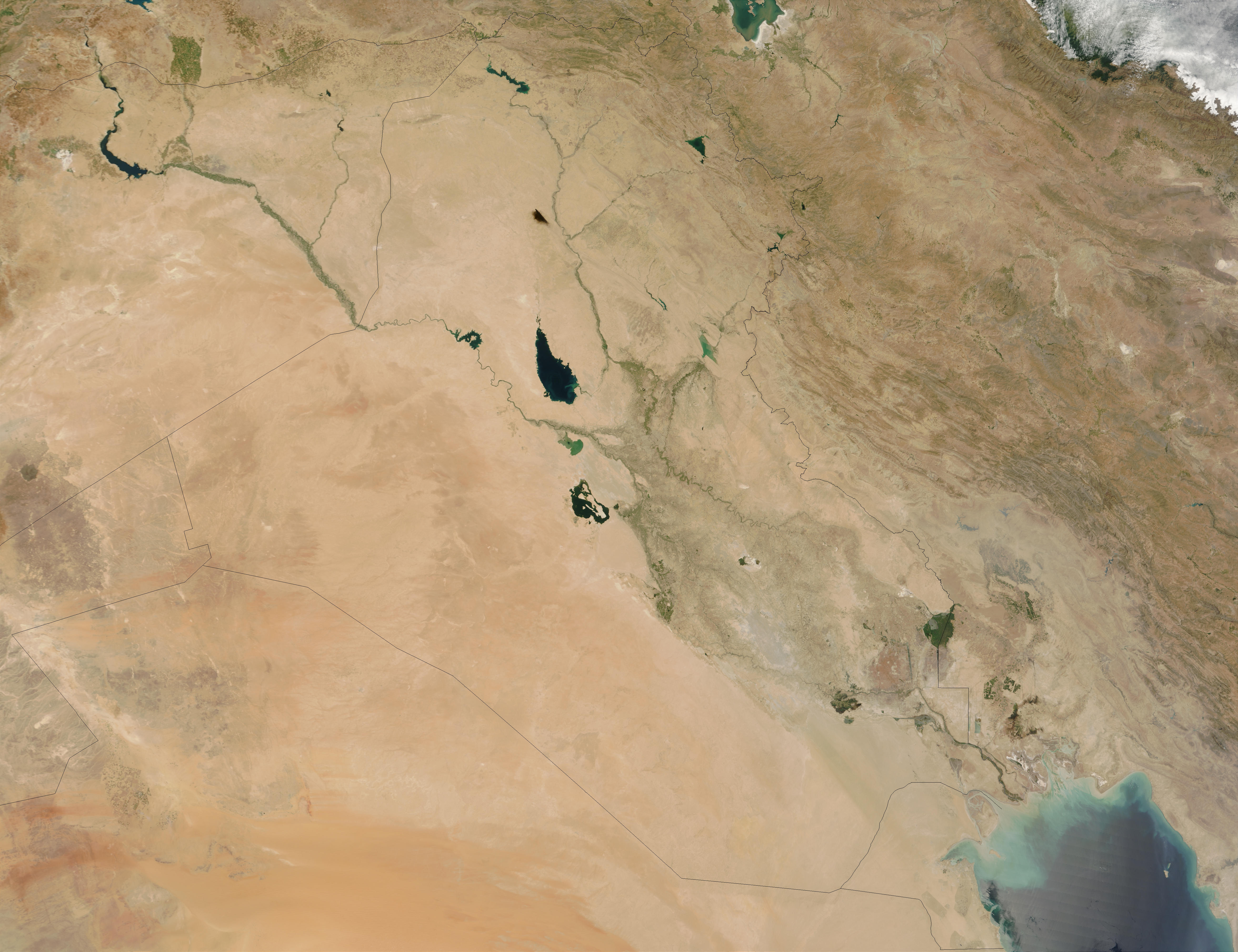
Derived from NASA Satellite imagery (2MB JPEG) (linking page), used under NASA's Terms of Use
Follows other published maps of Mesopotamian cities, such as the map by Kessler (2012) and the interactive map by Lendering (2004).
Landmarks
This map marks and captions the following cities, listed from top to bottom:
- Nineveh
- Qattara
- Dūr-Katlimmu
- Assur
- Arrapha
- Terqa
- Nuzi
- Mari
- Eshnunna
- Dur-Kurigalzu
- Der
- Sippar
- Babylon
- Kish
- Susa
- Borsippa
- Nippur
- Isin
- Uruk
- Larsa
- Ur
Notes
Map overlaps with Media:Meso2mil.JPG.

Licensing
This file is licensed under the Creative Commons Attribution-Share Alike 2.5 Generic license.
- You are free:
- to share – to copy, distribute and transmit the work
- to remix – to adapt the work
- Under the following conditions:
- attribution – You must give appropriate credit, provide a link to the license, and indicate if changes were made. You may do so in any reasonable manner, but not in any way that suggests the licensor endorses you or your use.
- share alike – If you remix, transform, or build upon the material, you must distribute your contributions under the same or compatible license as the original.
