File:Metro Atlanta.jpg
Click on a date/time to view the file as it appeared at that time.
| Date/Time | Thumbnail | Dimensions | User | Comment | |
|---|---|---|---|---|---|
| current | 00:44, 18 April 2011 | 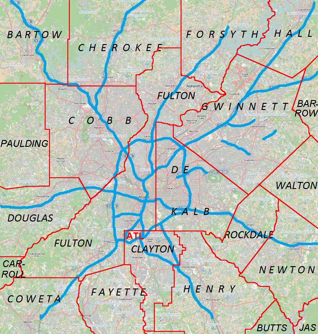 | 1,025 × 1,078 (385 KB) | Keizers | +county borders and airport |
| 17:22, 15 April 2011 |  | 1,025 × 1,078 (571 KB) | Keizers | shows all counties now | |
| 17:38, 14 April 2011 |  | 1,025 × 1,078 (548 KB) | Keizers | added thicker freeway lines and 3 key county names | |
| 15:16, 14 April 2011 |  | 1,025 × 1,078 (362 KB) | Keizers | {{Information |Description ={{en|1=Metro Atlanta from Open Street Map}} |Source =Open street map |Author =Open street map |Date =2011-04-12 |Permission = |other_versions = }} Category:Atlanta maps |
File usage
More than 100 pages use this file. The following list shows the first 100 pages that use this file only. A full list is available.
- Aberdeen, Georgia
- Alpharetta, Georgia
- Archibald Smith Plantation Home
- Austell, Georgia
- Avondale Estates, Georgia
- Belvedere Park, Georgia
- Ben Hill, Atlanta
- Big Chicken
- Bradley Observatory
- Braelinn, Georgia
- Brookhaven, Georgia
- Buckhead
- Buford, Georgia
- Buford Highway
- Campbell County Courthouse (Georgia)
- Candler-McAfee, Georgia
- Canton, Georgia
- Cartersville, Georgia
- Cecil and Hermione Alexander House
- Chamblee, Georgia
- Chattahoochee Hills, Georgia
- Cobb County, Georgia
- College Park, Georgia
- Collier Heights
- Conyers, Georgia
- Conyers Residential Historic District
- Covington, Georgia
- Crawford-Dorsey House and Cemetery
- Cumberland, Georgia
- Cumming, Georgia
- Dallas, Georgia
- Decatur, Georgia
- Delta Flight Museum
- Doraville, Georgia
- Douglasville, Georgia
- Downtown Atlanta
- East Cobb, Georgia
- East Point, Georgia
- Elisha Winn House
- Etowah Indian Mounds
- Fairburn, Georgia
- Forest Park, Georgia
- Glenloch, Peachtree City, Georgia
- Greenhaven, Georgia
- Hickory Flat, Georgia
- Hiram, Georgia
- Holly Springs, Georgia
- Isaac Roberts House
- Jeremiah S. Gilbert House
- Johns Creek, Georgia
- Jonesboro, Georgia
- Jonesboro Historic District (Jonesboro, Georgia)
- Judge William Wilson House
- Kedron, Georgia
- Kelleytown, Georgia
- Kennesaw, Georgia
- Kennesaw Mountain National Battlefield Park
- Lawrenceville, Georgia
- Lithonia, Georgia
- Loganville, Georgia
- Mableton, Georgia
- Marietta, Georgia
- Marietta National Cemetery
- Mechanicsville, Gwinnett County, Georgia
- Mercedes-Benz Stadium
- Midway Presbyterian Church and Cemetery
- Milton, Georgia
- National Museum of Commercial Aviation
- Newnan, Georgia
- Norcross, Georgia
- Northlake, Georgia
- Northwest Marietta Historic District
- Oglethorpe University
- Old Seminary Building
- Panola Mountain
- Panthersville, Georgia
- Peachtree Corners, Georgia
- Rest Haven, Georgia
- Robert Mable House and Cemetery
- Roscoe–Dunaway Gardens Historic District
- Roswell, Georgia
- Sandy Springs, Georgia
- SciTrek
- Scottdale, Georgia
- Snellville, Georgia
- South Fulton, Georgia
- Southside Park
- Starrsville, Georgia
- State Farm Arena
- Stately Oaks
- Stockbridge, Georgia
- Stone Mountain, Georgia
- Suwanee, Georgia
- The Superb
- Thomasville Heights
- Truist Park
- Vinings, Georgia
- Whitlock Avenue Historic District
- Whittier Mill Village
- Winnona Park Historic District
View more links to this file.
Global file usage
The following other wikis use this file:
- Usage on ar.wikipedia.org
- Usage on ban.wikipedia.org
- Usage on bcl.wikipedia.org
- Usage on bn.wikipedia.org
- Usage on ceb.wikipedia.org
- Usage on de.wikipedia.org
- Usage on eo.wikipedia.org
- Usage on fa.wikipedia.org
- فرودگاه بینالمللی هارتسفیلد-جکسون آتلانتا
- الگو:Location map Metro Atlanta
- آلفارتا، جورجیا
- آستل، جورجیا
- اوندیل استیتس، جورجیا
- بروکهاون، جورجیا
- بافرد، جورجیا
- کانتون، جورجیا
- کارترسویل، جورجیا
- کمبلی، جورجیا
- چاتاهوچی هیلز، جورجیا
- کنیرز، جورجیا
- کوینگتن، جورجیا
- کامینگ، جورجیا
- دالاس، جورجیا
- دراویل، جورجیا
- داگلاس ویل، جورجیا
- ایست پوینت، جورجیا
- فیربرن، جورجیا
- فرست پارک، جورجیا
- گینس ویل، جورجیا
- هیرام، جورجیا
- جانز کریک، جورجیا
- جونزبرو، جورجیا
- کنساو، جورجیا
- لارنسویل، جورجیا
- لیتنیا، جورجیا
- لگانویل، جورجیا
- مریتا، جورجیا
- مک دنو، جورجیا
- میلتن، جورجیا
- مونرو، جورجیا
- نیونن، جورجیا
- نورکراس، جورجیا
- پیچتری سیتی، جورجیا
- پیچتری کرنرز، جورجیا
- رزول، جورجیا
- سندی اسپرینگ، جورجیا
- اسنلویل، جورجیا
- استوک بریج، جورجیا
View more global usage of this file.