File:Metropolitan Water District Map (Boston, MA, 1910).jpg
Click on a date/time to view the file as it appeared at that time.
| Date/Time | Thumbnail | Dimensions | User | Comment | |
|---|---|---|---|---|---|
| current | 19:33, 14 August 2010 | 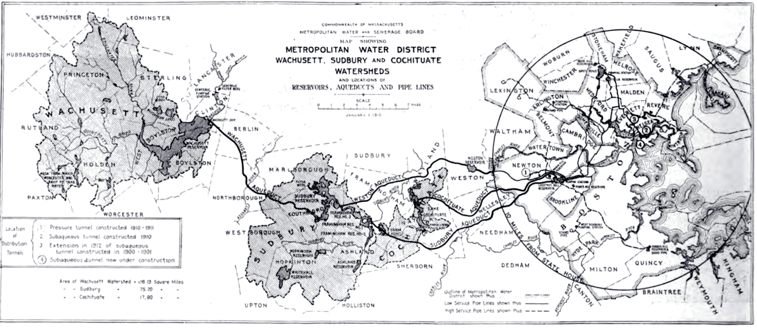 | 2,571 × 1,115 (1.26 MB) | Daderot | {{Information |Description=1910 map of the Metropolitan Water District system, Metropolitan Water & Sewage Board (Boston area), Commonwealth of Massachusetts, USA. |Source=Halbert Powers Gillette, "Engineering & contracting", Vol. XLII, No. 4, Page 84. | |
File usage
The following 6 pages use this file:
Global file usage
The following other wikis use this file:
- Usage on ceb.wikipedia.org
- Usage on www.wikidata.org
.jpg)