Click on a date/time to view the file as it appeared at that time.
| Date/Time | Thumbnail | Dimensions | User | Comment |
|---|
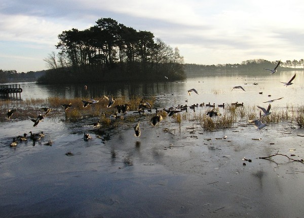
| current | 22:42, 7 February 2011 | 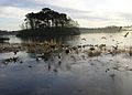 | 600 × 429 (81 KB) | GeographBot | == {{int:filedesc}} == {{Information |description={{en|1=Monikie reservoir Orignially built to supply water to Dundee, the reservoir ponds at Monikie are now at the heart of a country park where visitors can enjoy fishing, canoeing and just having a walk. |
The following page uses this file:
This file contains additional information, probably added from the digital camera or scanner used to create or digitize it.
If the file has been modified from its original state, some details may not fully reflect the modified file.