Click on a date/time to view the file as it appeared at that time.
| Date/Time | Thumbnail | Dimensions | User | Comment |
|---|
| current | 23:50, 25 July 2014 |  | 2,112 × 1,304 (1.22 MB) | Ras67 | higher resolution, cropped and processed from NASA's raw data |
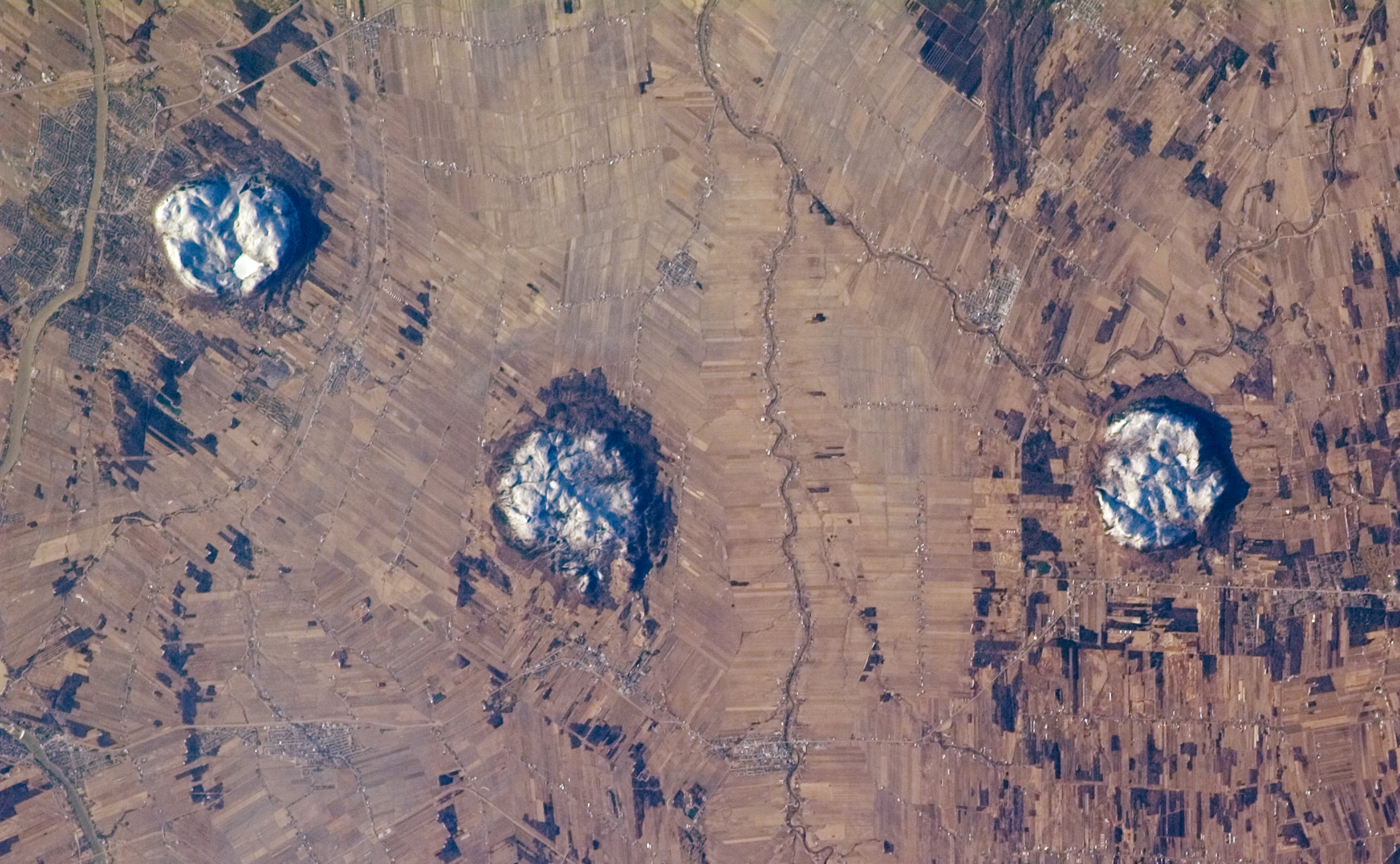
| 02:58, 29 May 2007 |  | 1,000 × 618 (364 KB) | Avenue | Astronaut photo of the Monteregian Hills, Quebec, Canada. Credit: International Space Station Crew Earth Observations experiment and the Image Science & Analysis Laboratory, Johnson Space Center Source: NASA's Earth Observatory [http://earthobservatory. |
The following pages on the English Wikipedia use this file (pages on other projects are not listed):
The following other wikis use this file:
- Usage on arz.wikipedia.org
- Usage on ceb.wikipedia.org
- Usage on de.wikipedia.org
- Usage on es.wikipedia.org
- Usage on fr.wikipedia.org
- Usage on gu.wikipedia.org
- Usage on it.wikipedia.org
- Usage on kn.wikipedia.org
- Usage on nl.wikipedia.org
- Usage on pl.wikipedia.org
- Usage on sv.wikipedia.org
- Usage on uk.wikipedia.org
- Usage on www.wikidata.org
This file contains additional information, probably added from the digital camera or scanner used to create or digitize it.
If the file has been modified from its original state, some details may not fully reflect the modified file.
