Loading
  • 21 Aug, 2019

  • By, Wikipedia

File:NAS Cubi Point And NS Subic Bay.jpg

العربية  Deutsch  English  español  français  italiano  日本語  한국어  македонски  മലയാളം  Nederlands  polski  português  русский  slovenščina  Türkçe  українська  Tiếng Việt  中文(简体)  中文(繁體)  +/−

Author PH1(Nac) David R. Sanner, U.S. Navy
Camera location14° 48′ 46.12″ N, 120° 17′ 18.42″ E Kartographer map based on OpenStreetMap.View this and other nearby images on: OpenStreetMapinfo

Licensing

Public domain
This file is a work of a sailor or employee of the U.S. Navy, taken or made as part of that person's official duties. As a work of the U.S. federal government, it is in the public domain in the United States.

Captions

Add a one-line explanation of what this file represents

Items portrayed in this file

depicts

14°48'46.12"N, 120°17'18.42"E

File history

Click on a date/time to view the file as it appeared at that time.

Date/TimeThumbnailDimensionsUserComment
current01:27, 25 April 2007Thumbnail for version as of 01:27, 25 April 20072,780 × 1,900 (3.45 MB)Dual Freq
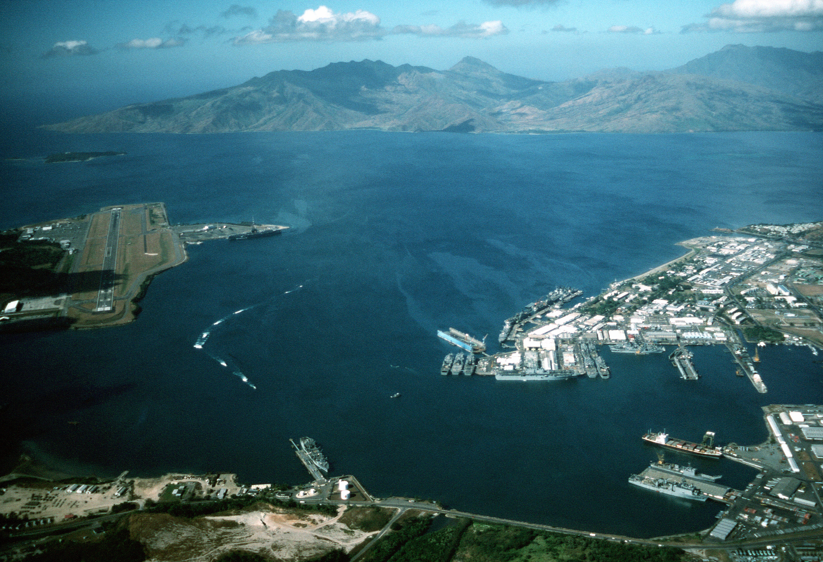
{{Information |Description= |Source=[http://www.dodmedia.osd.mil/Assets/Still/1991/Navy/DN-ST-91-11630.JPEG ID:DN-ST-91-11630] |Author=Camera Operator: PH1(NAC) DAVID R. SANNER </br>Service Depicted: Navy An aerial view of the station and, to the left, N

The following 3 pages use this file:

Global file usage

The following other wikis use this file:

Metadata