File:NIFS.png
Click on a date/time to view the file as it appeared at that time.
| Date/Time | Thumbnail | Dimensions | User | Comment | |
|---|---|---|---|---|---|
| current | 16:10, 3 October 2010 | 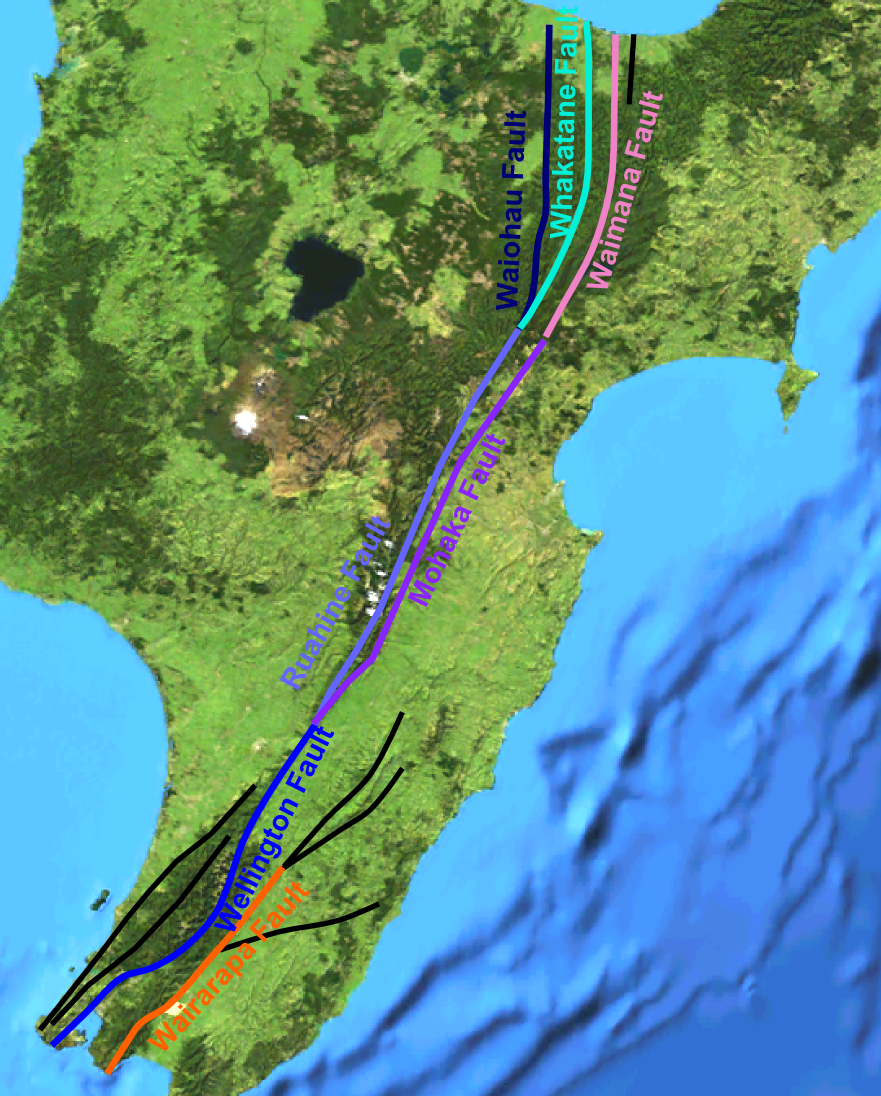 | 881 × 1,096 (1.22 MB) | Mikenorton | {{Information |Description={{en|1=Map of the main active fault strands within the North Island Fault System, New Zealand. Locations taken from the [http://data.gns.cri.nz/af/index.jsp GeoNet active faults database] }} |Source={{own}} |Author=[[User:Mikeno |
File usage
The following 4 pages use this file:
Global file usage
The following other wikis use this file:
- Usage on pl.wikipedia.org
- Usage on ru.wikipedia.org
- Usage on www.wikidata.org