Loading
  • 21 Aug, 2019

  • By, Wikipedia

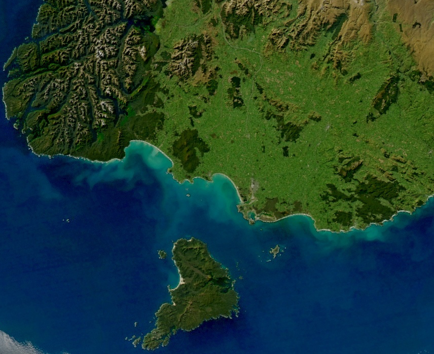
File:NZ-Southland-satellite.png

Source=This file was derived from: Turbid Waters Surround New Zealand.jpg

Author=*Turbid_Waters_Surround_New_Zealand.jpg: Norman Kuring

  • derivative work (a simple crop): Grutness (talk) 13:00, 16 March 2019 (UTC)

Permission=

Public domain
This image is in the public domain because it is a screenshot from NASA’s globe software World Wind using a public domain layer, such as Blue Marble, MODIS, Landsat, SRTM, USGS or GLOBE.

العربيَّة | English | فارسی | français | עברית | македонски | മലയാളം | Nederlands | русский | 中文(中国大陆)‎ | +/−

Date Source

  • derivative work (a simple crop)
Author Aqua (satellite) MODIS

Licensing

Public domain This file is in the public domain in the United States because it was solely created by NASA. NASA copyright policy states that "NASA material is not protected by copyright unless noted". (See Template:PD-USGov, NASA copyright policy page or JPL Image Use Policy.)
Warnings:

Captions

Satellite image of most of New Zealand's Southland Region, including Stewart Island and southern Fiordland.

Items portrayed in this file

depicts

17 March 2019

File history

Click on a date/time to view the file as it appeared at that time.

Date/TimeThumbnailDimensionsUserComment
current13:00, 16 March 2019Thumbnail for version as of 13:00, 16 March 2019856 × 699 (1.15 MB)GrutnessUser created page with UploadWizard

The following 3 pages use this file:

Metadata