
File history
Click on a date/time to view the file as it appeared at that time.
| Date/Time | Thumbnail | Dimensions | User | Comment | |
|---|---|---|---|---|---|
| current | 19:04, 28 February 2011 | 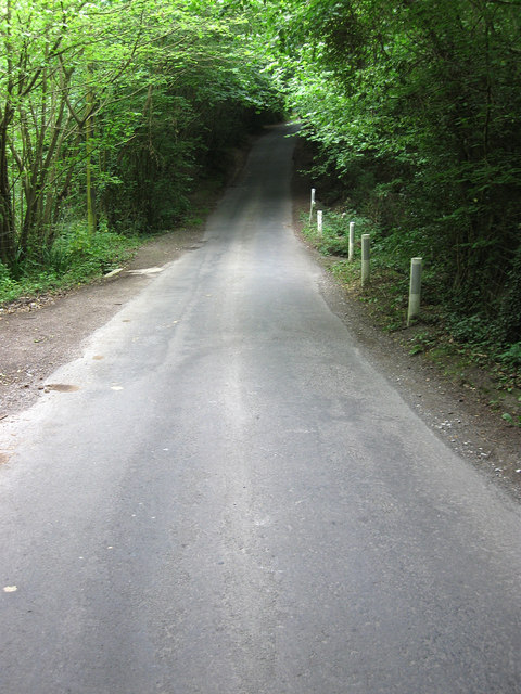 | 480 × 640 (109 KB) | GeographBot | == {{int:filedesc}} == {{Information |description={{en|1=Nan Tucks Lane Heading through Solomon's Wood. Named after an old woman who was chased down this lane by the irate villagers of Buxted who believed she was a witch. What happened after is subject to |
File usage
The following pages on the English Wikipedia use this file (pages on other projects are not listed):