Loading
  • 21 Aug, 2019

  • By, Wikipedia

File:National Forests In Colorado.png

David Benbennick made this map with data from nationalatlas.gov.

The map uses the azimuthal equidistant projection, centered on (-105.7167, 39.1333) (degrees latitude, longitude). The area outside Colorado is transparent, so it should look nice on non-white backgrounds.

Eventually, I will upload the 4 megabyte Metapost script I used to make this map. In the mean time, see map.mp.
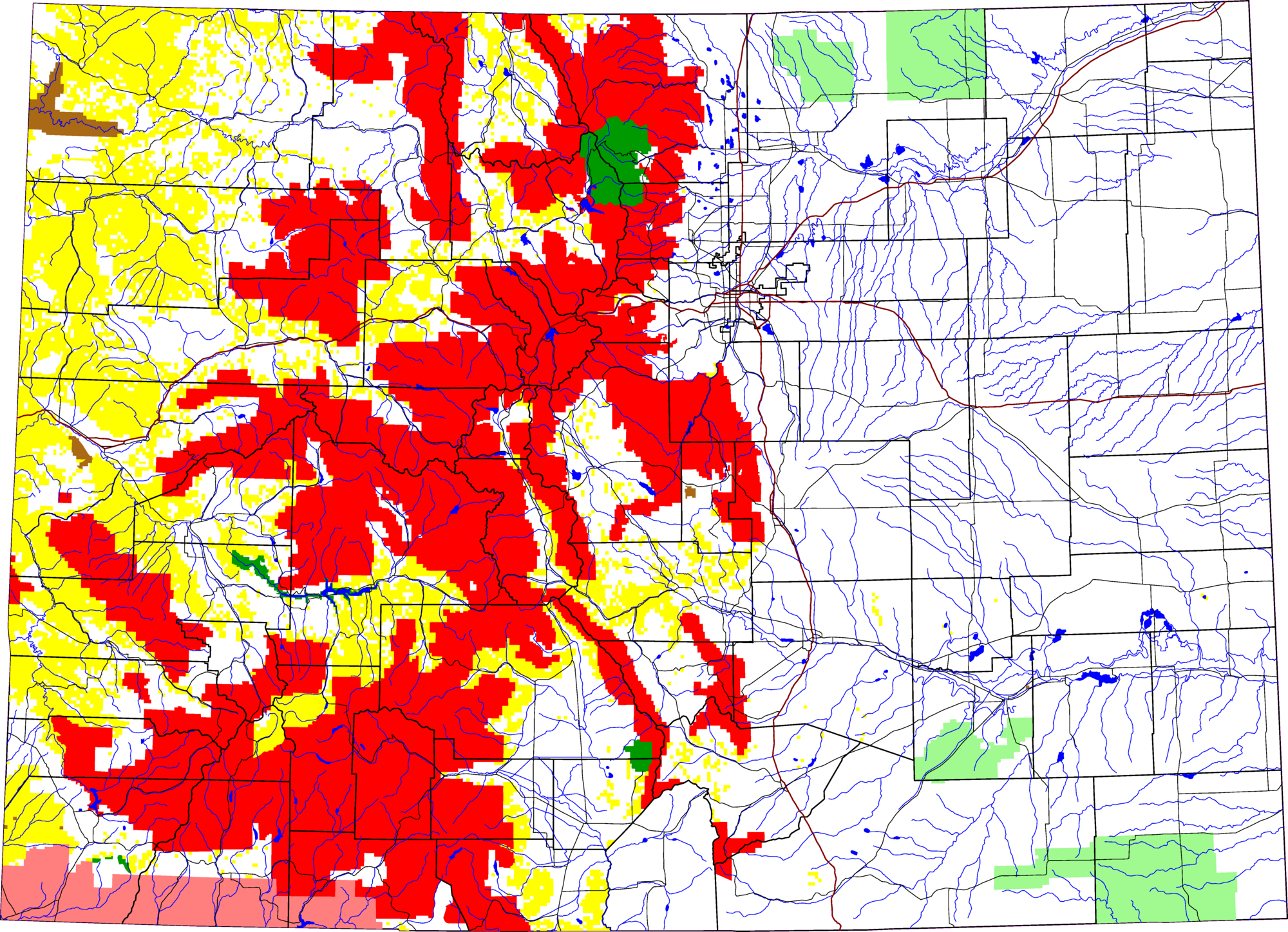
Source Own work Author David Benbennick

Licensing

Public domain I, the copyright holder of this work, release this work into the public domain. This applies worldwide.
In some countries this may not be legally possible; if so:
I grant anyone the right to use this work for any purpose, without any conditions, unless such conditions are required by law.

Captions

Add a one-line explanation of what this file represents

Items portrayed in this file

depicts

File history

Click on a date/time to view the file as it appeared at that time.

Date/TimeThumbnailDimensionsUserComment
current20:22, 8 March 2006Thumbnail for version as of 20:22, 8 March 20062,000 × 1,448 (1.57 MB)Dbenbennthumbnail, since MediaWiki can't scale PNG images that are larger than 12.5 megapixels
21:14, 10 August 2005Thumbnail for version as of 21:14, 10 August 20056,234 × 4,512 (652 KB)Dbenbennoops, previous version had Pawnee National Grassland in red
15:28, 10 August 2005Thumbnail for version as of 15:28, 10 August 20056,234 × 4,512 (652 KB)Dbenbennby me, PD

The following page uses this file: