File:Nevşehir Districts.png
Derivative works of this file:
English Add a one-line explanation of what this file represents
Click on a date/time to view the file as it appeared at that time.
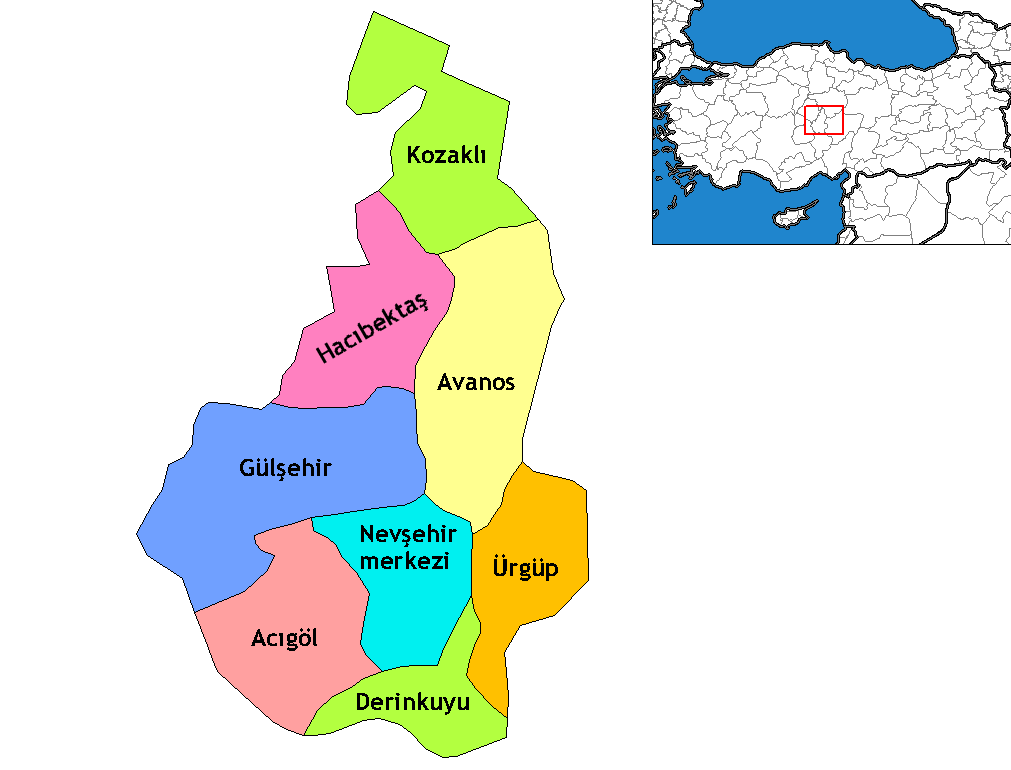
Date/Time Thumbnail Dimensions User Comment current 23:40, 16 October 2009 1,011 × 770 (28 KB) ZooFari Trimmed off border 01:46, 29 December 2008 1,056 × 816 (29 KB) One Homo Sapiens Corrected text where İ,Ş,ı,ğ,or ş occurs in name. Source: [statoids-com]. Increased font size and enhanced color differences among adjacent districts. 21:42, 15 April 2007 1,056 × 816 (28 KB) Denizz~commonswiki == Summary == Map of the districts of Nevşehir province in Turkey. Created by Rarelibra 16:38, 4 December 2006 (UTC) for public domain use, using MapInfo Professional v8.5 and various mapping resources. == Licensing == {{PD-self}}
The following pages on the English Wikipedia use this file (pages on other projects are not listed):
The following other wikis use this file:
Usage on ar.wikipedia.org
Usage on ast.wikipedia.org
Usage on av.wikipedia.org
Usage on az.wikipedia.org
Usage on be.wikipedia.org
Usage on ca.wikipedia.org
Usage on ceb.wikipedia.org
Usage on cs.wikipedia.org
Usage on de.wikipedia.org
Usage on diq.wikipedia.org
Usage on el.wikipedia.org
Usage on en.wiktionary.org
Usage on eo.wikipedia.org
Usage on es.wikipedia.org
Usage on eu.wikipedia.org
Usage on fa.wikipedia.org
Usage on fi.wikipedia.org
Usage on fr.wikipedia.org
View more global usage of this file.

