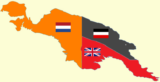
File:New Guinea (1884-1919).png
Own work based on:
✦ New guinea named.PNG
✦ Flag of the United Kingdom.svg
✦ Flag of the Netherlands.svg
✦ Flag of the German Empire.svg
Author
Cartol
✦ New guinea named.PNG
✦ Flag of the United Kingdom.svg
✦ Flag of the Netherlands.svg
✦ Flag of the German Empire.svg
Supporting references:
- Great Britain. War Office. General Staff. Geographical Section Creator, and Great Britain. War Office. Intelligence Division Contributor. British and German New Guinea. Great Britain: War Office, -08, 1906. Map. https://www.loc.gov/item/2021668665/.
- Map 1: Map of the Dutch East Indies (later Indonesia). Smithsonian Libraries and Archives.
Licensing

|
Permission is granted to copy, distribute and/or modify this document under the terms of the GNU Free Documentation License, Version 1.2 or any later version published by the Free Software Foundation; with no Invariant Sections, no Front-Cover Texts, and no Back-Cover Texts. A copy of the license is included in the section entitled GNU Free Documentation License. |
| This file is licensed under the Creative Commons Attribution-Share Alike 3.0 Unported license. | ||
| ||
| This licensing tag was added to this file as part of the GFDL licensing update. |

|
This flag map image could be re-created using vector graphics as an SVG file. This has several advantages; see Commons:Media for cleanup for more information. If an SVG form of this image is available, please upload it and afterwards replace this template with
{{vector version available|new image name}}.
It is recommended to name the SVG file “New Guinea (1884-1919).svg”—then the template Vector version available (or Vva) does not need the new image name parameter. |


.png)
.png)