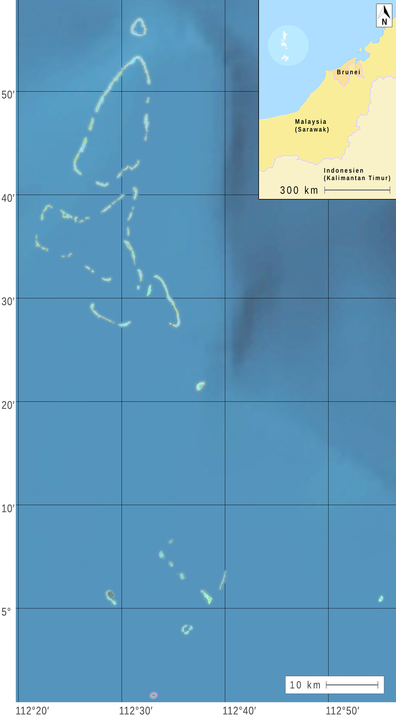
File:North And South Luconia Shoals.jpg
1) satellite images on oceandots.com
2) Map Sheet L-11 A on 2bmoto.com
3) World aerial (MQ) - Layer, re-centering on 5.95, 112.533333 (latitude,longitude).
4) World public transit (TF) - Layer, re-centering on 5.95, 112.533333 (latitude,longitude).
Author
2) Map Sheet L-11 A on 2bmoto.com
3) World aerial (MQ) - Layer, re-centering on 5.95, 112.533333 (latitude,longitude).
4) World public transit (TF) - Layer, re-centering on 5.95, 112.533333 (latitude,longitude).
- NASA (1, 2)
- OpenAerialMap (OAM) (3)
- World public transit (4)
| This is a retouched picture, which means that it has been digitally altered from its original version. Modifications: Deutsch: Teile der angegebenen Quellen wurden zu einem neuen Bild zusammengestellt. English: Parts of the indicated sources were combined to form a new image. Français : Parties des sources indiquées ont été combinées pour former une nouvelle image. . Modifications made by MagentaGreen.
|
Licensing
| This file is in the public domain in the United States because it was solely created by NASA. NASA copyright policy states that "NASA material is not protected by copyright unless noted". (See Template:PD-USGov, NASA copyright policy page or JPL Image Use Policy.) | ||
 |
Warnings:
|
(1, 2)
Permission is granted to do what the fuck you want to with this document under the terms of the WTF Public License, Version 2.
|
(3, 4)
| Annotations | This image is annotated: View the annotations at Commons |
