File:PenobscotIndianIslandReservation.png
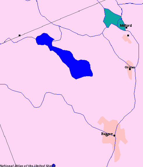
Created using http://nationalatlas.gov/ - data date for Indian Lands was December 2005. Indian Island is the green in the upper right.
Licensing
This map was obtained from an edition of the National Atlas of the United States. Like almost all works of the U.S. federal government, works from the National Atlas are in the public domain in the United States.
Online access: NationalAtlas.gov | 1970 print edition: Library of Congress, Perry-Castañeda Library
|