File:Peterborough RD 1933.png
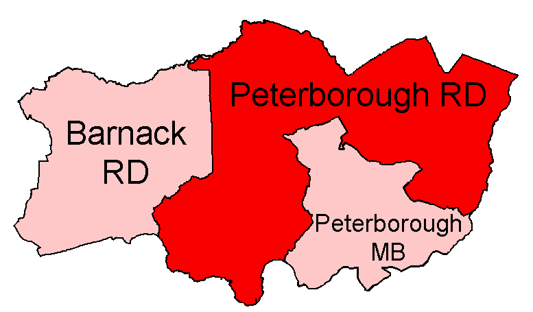
Districts built up from parishes as cited at w:Civil parishes in Cambridgeshire. Modern parish boundaries from Ordnance Survey Boundary-Line datasets licensed under the
Open Government Licence v1.0. Historic boundaries, where different, from copyright-expired Provisional/First Edition 1:25,000.
Author
Keith Edkins
Permission
(Reusing this file)


(Reusing this file)
This file is licensed under the Creative Commons Attribution-Share Alike 4.0 International license.
- You are free:
- to share – to copy, distribute and transmit the work
- to remix – to adapt the work
- Under the following conditions:
- attribution – You must give appropriate credit, provide a link to the license, and indicate if changes were made. You may do so in any reasonable manner, but not in any way that suggests the licensor endorses you or your use.
- share alike – If you remix, transform, or build upon the material, you must distribute your contributions under the same or compatible license as the original.