File:Ph Cagayan Valley.png
Click on a date/time to view the file as it appeared at that time.
| Date/Time | Thumbnail | Dimensions | User | Comment | |
|---|---|---|---|---|---|
| current | 04:47, 26 November 2021 | 396 × 1,048 (38 KB) | Hariboneagle927 | Reverted to version as of 08:54, 30 March 2021 (UTC) | |
| 03:42, 26 November 2021 | 1,304 × 4,096 (428 KB) | Nissan2020 | Reverted to version as of 11:10, 28 March 2021 (UTC) | ||
| 08:54, 30 March 2021 | 396 × 1,048 (38 KB) | HueMan1 | Reverted to version as of 15:36, 14 May 2020 (UTC) | ||
| 11:10, 28 March 2021 | 1,304 × 4,096 (428 KB) | Teamayuiyui | Update from 2021 | ||
| 15:36, 14 May 2020 | 396 × 1,048 (38 KB) | HueMan1 | Reverted to version as of 12:49, 25 March 2009 (UTC) | ||
| 21:32, 11 May 2020 | 396 × 1,048 (96 KB) | Yuiyui2014 | 5 Provinces | ||
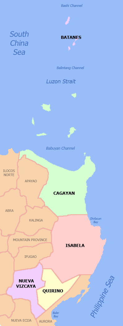
| 12:49, 25 March 2009 | 396 × 1,048 (38 KB) | File Upload Bot (Magnus Manske) | {{BotMoveToCommons|en.wikipedia|year={{subst:CURRENTYEAR}}|month={{subst:CURRENTMONTHNAME}}|day={{subst:CURRENTDAY}}}} {{Information |Description={{en|Political map of Cagayan Valley Region, en:Philippines. Showing [[:en:Batan |
File usage
The following 15 pages use this file:
Global file usage
The following other wikis use this file:
- Usage on bcl.wikipedia.org
- Usage on ca.wikipedia.org
- Usage on cbk-zam.wikipedia.org
- Usage on ceb.wikipedia.org
- Usage on de.wikipedia.org
- Usage on es.wikipedia.org
- Usage on ka.wikipedia.org
- ბატანესი
- სანტიაგო (ისაბელა)
- თარგი:კაგაიანის ხეობა
- ტუგეგარაო
- კაუაიანი (ისაბელა)
- რომბლონი (რომბლონი)
- კაგაიანის ხეობა
- ისაბელას პროვინცია
- ნუევა-ვისკაია
- ილაგანი
- კაგაიანი
- კირინო
- ბასკო (ბატანესი)
- იტბაიატი
- ივანა (ბატანესი)
- მაატაო
- საბტანგი
- უიუგანი
- ალისია (ისაბელა)
- ანგადანანი
- აურორა (ისაბელა)
- ბენიტო-სოლივენი
- ბურგოსი (ისაბელა)
- კაბაგანი
- კაბატუანი (ისაბელა)
- კორდონი (ისაბელა)
- დელფინ-ალბანო
- დინაპიგე
- დივილაკანი
- ეჩაგე
- გამუ
- ხონესი (ისაბელა)
- ლუნა (ისაბელა)
- მაკონაკონი
- მალიგი
- ნაგილიანი (ისაბელა)
- პალანანი
- კესონი (ისაბელა)
- კირინო (ისაბელა)
- რამონი (ისაბელა)
- რეინა-მერსედესი (ისაბელა)
- სან-აგუსტინი (ისაბელა)
- სან-გილიერმო (ისაბელა)
- სან-ისიდრო (ისაბელა)
View more global usage of this file.