Loading
  • 21 Aug, 2019

  • By, Wikipedia

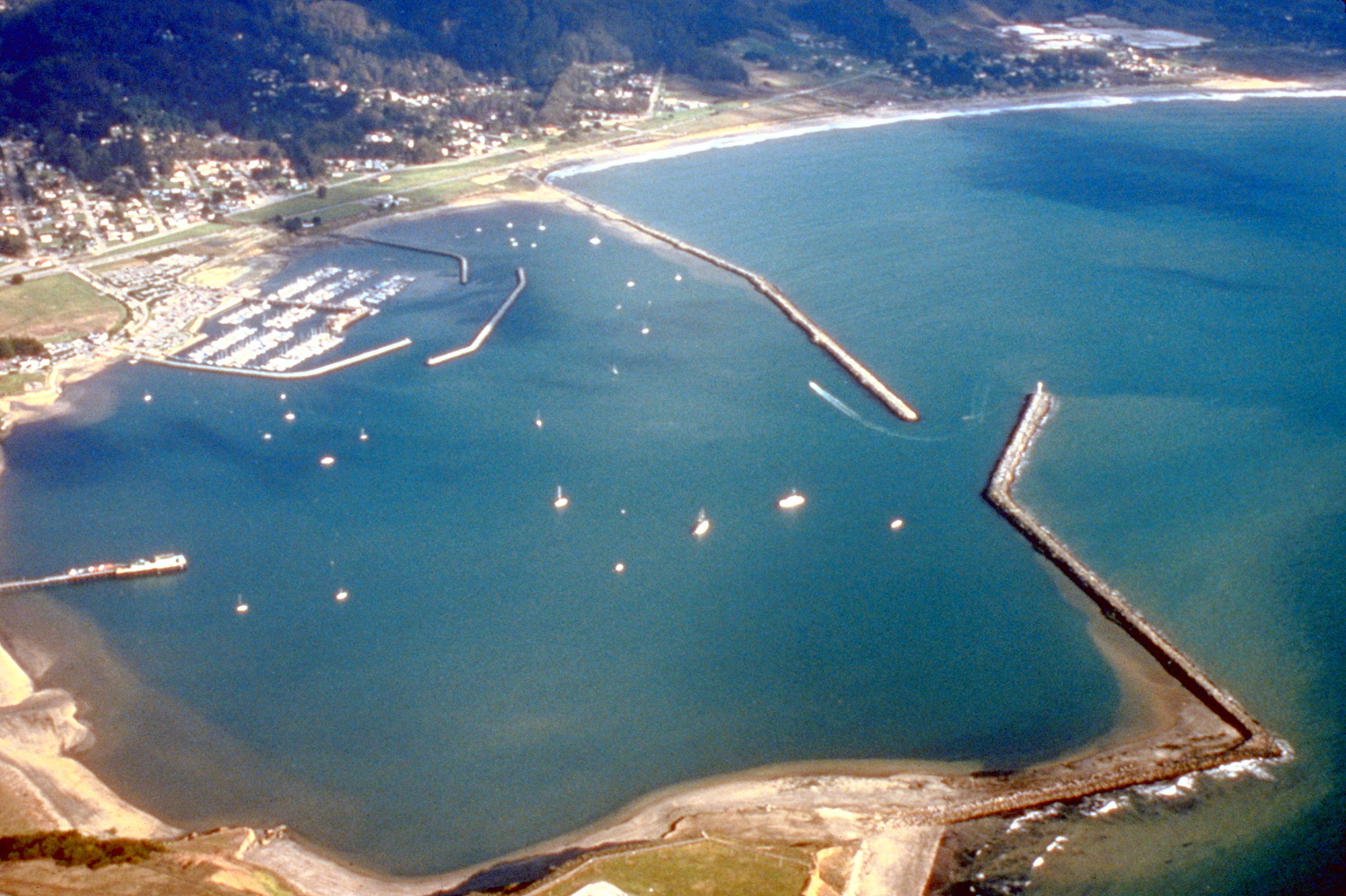
File:Pillar Point Harbor Aerial View.jpg

This work is free and may be used by anyone for any purpose. If you wish to use this content, you do not need to request permission as long as you follow any licensing requirements mentioned on this page.

The Wikimedia Foundation has received an e-mail confirming that the copyright holder has approved publication under the terms mentioned on this page. This correspondence has been reviewed by a Volunteer Response Team (VRT) member and stored in our permission archive. The correspondence is available to trusted volunteers as ticket #2008122910003218.

If you have questions about the archived correspondence, please use the VRT noticeboard. Ticket link: https://ticket.wikimedia.org/otrs/index.pl?Action=AgentTicketZoom&TicketNumber=2008122910003218
Find other files from the same ticket: SDC query (SPARQL)

Location
InfoField
San Mateo County, California, USA

Captions

Add a one-line explanation of what this file represents

Items portrayed in this file

depicts

File history

Click on a date/time to view the file as it appeared at that time.

Date/TimeThumbnailDimensionsUserComment
current03:57, 3 May 2007Thumbnail for version as of 03:57, 3 May 20071,500 × 999 (662 KB)DanMS{{Information | Description = {{en|Aerial view of Pillar Point Harbor in San Mateo County, California, USA. The communities of Princeton and El Granada are visible on the shore at the top of the photograph. The U.S. Army Corps of Engineers constructed

Global file usage

The following other wikis use this file:

Metadata