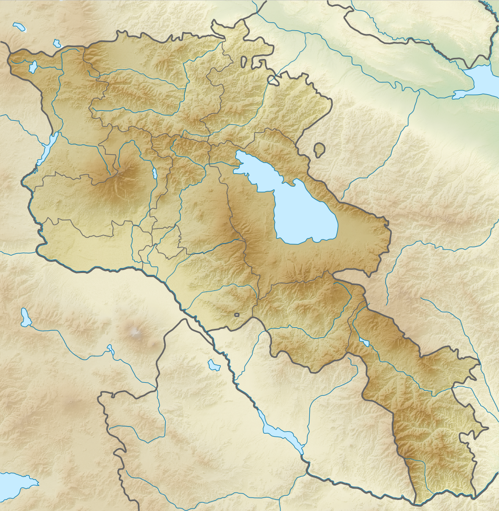
File:Relief Map Of Armenia.png
Equirectangular projection, N/S stretching 130 %. Geographic limits of the map:
- N: 41.4° N
- S: 38.8° N
- W: 43.4° E
- E: 46.7° E
Français : Carte topographique de l'Arménie.
Projection cylindrique équidistante, avec étirement nord-sud de 130%.
Limites de la carte :
- N: 41,4°
- O: 43,4°
- S: 38,8°
- E: 46,7°


