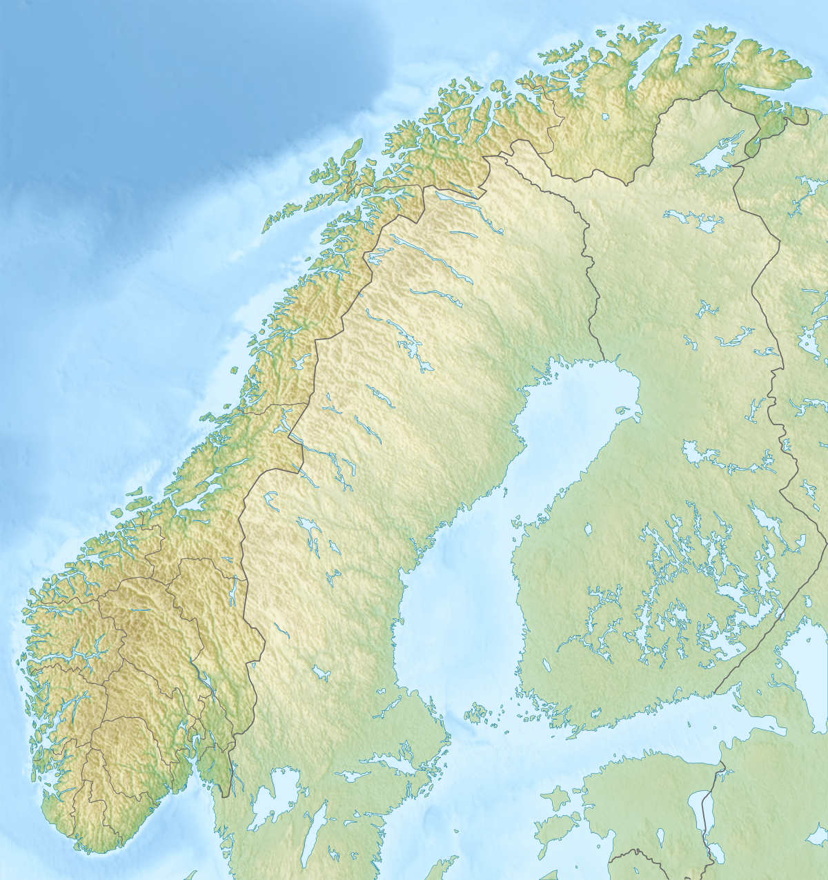
File:Relief Map Of Norway.png
Equirectangular projection, N/S stretching 210 %. Geographic limits of the map:
Date
Source
Author
derivative work Виктор_В
- N: 71.5° N
- S: 57.6° N
- W: 4.1° E
- E: 31.6° E
- File:Norway location map.svg by NordNordWest
- SRTM30
- ETOPO1

|
File:Norway rel location map.svg is a vector version of this file. It should be used in place of this PNG file when not inferior.
File:Relief Map of Norway.png → File:Norway rel location map.svg
For more information, see Help:SVG. |
 |
Licensing
I, the copyright holder of this work, hereby publish it under the following licenses:

|
Permission is granted to copy, distribute and/or modify this document under the terms of the GNU Free Documentation License, Version 1.2 or any later version published by the Free Software Foundation; with no Invariant Sections, no Front-Cover Texts, and no Back-Cover Texts. A copy of the license is included in the section entitled GNU Free Documentation License. |
This file is licensed under the Creative Commons Attribution-Share Alike 3.0 Unported license.
- You are free:
- to share – to copy, distribute and transmit the work
- to remix – to adapt the work
- Under the following conditions:
- attribution – You must give appropriate credit, provide a link to the license, and indicate if changes were made. You may do so in any reasonable manner, but not in any way that suggests the licensor endorses you or your use.
- share alike – If you remix, transform, or build upon the material, you must distribute your contributions under the same or compatible license as the original.
You may select the license of your choice.


