Loading
  • 21 Aug, 2019

  • By, Wikipedia

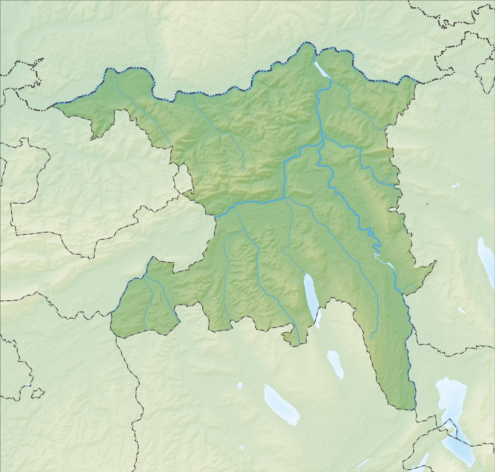
File:Reliefkarte Aargau Blank.png

If you perform the crop, please

  • copy this file metadata and upload it using this upload form with “{{Extracted from|File:Reliefkarte Aargau blank.png}}” appended to the source field.
  • add {{Image extracted|xxx.ext}} to the other versions field of this file.
  • add the new file as an image to the Wikidata item.
If cropping a JPEG, it is generally preferable to use a lossless cropping tool such as CropTool on Wikimedia Toolforge, Adobe Photoshop, Affinity Photo, jpegtran, or in some cases GIMP, ImageMagick, IrfanView, XnView. For more help, see Commons:Media for cleanup.

العربية  Deutsch  English  Esperanto  日本語  македонски  slovenščina  +/−

Captions

Add a one-line explanation of what this file represents

Items portrayed in this file

depicts

5 December 2013

File history

Click on a date/time to view the file as it appeared at that time.

Date/TimeThumbnailDimensionsUserComment
current10:30, 5 December 2013Thumbnail for version as of 10:30, 5 December 20131,965 × 1,871 (3.64 MB)Tschubby{{Information |Description= |Source= |Date= |Author= |Permission= |other_versions= }}
10:25, 5 December 2013Thumbnail for version as of 10:25, 5 December 20131,965 × 1,871 (3.65 MB)Tschubby{{Information |Description= {{de| Reliefkarte des Kantons Aargau}} Topographischer Hintergrund: [http://www2.jpl.nasa.gov/srtm NASA Shuttle Radar Topography Mission] (public domain). SRTM3 v.2. |Source={{own}} |Date= 2013-12-05 |Author= [[:de:User:Tsch...

Global file usage

Metadata