Click on a date/time to view the file as it appeared at that time.
| Date/Time | Thumbnail | Dimensions | User | Comment |
|---|
| current | 21:42, 2 May 2009 |  | 4,535 × 3,625 (4.4 MB) | Cropbot | upload cropped version, operated by User:Finavon. Summary: border cropped |
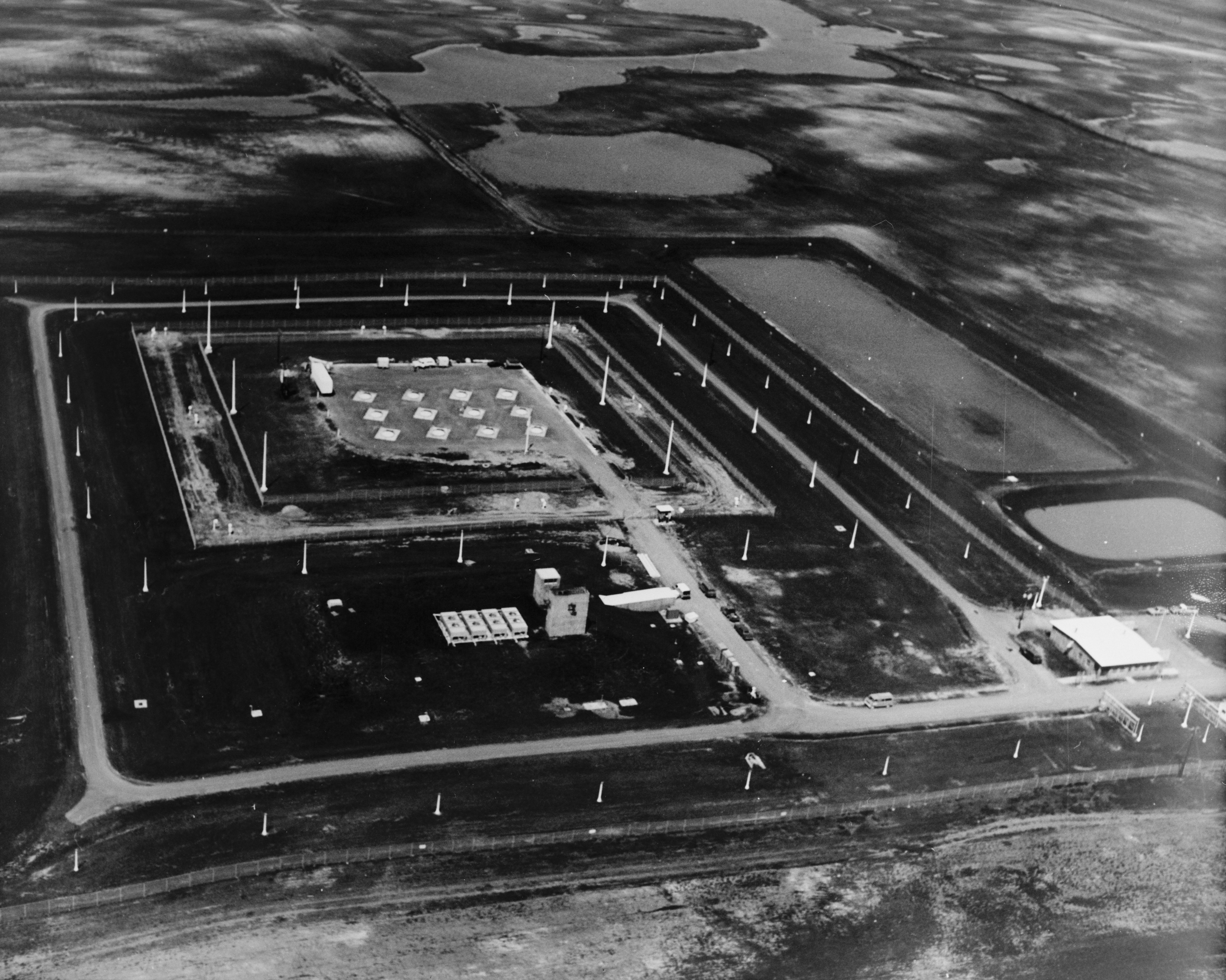
| 04:20, 13 October 2007 |  | 4,827 × 3,893 (4.62 MB) | Dual Freq | {{Information |Description=Stanley R. Mickelsen Safeguard Complex, Remote Sprint Launch Site No. 2, West of Mile Marker 220 on State Route 1, 6.0 miles North of Langdon, ND, Nekoma vicinity, Cavalier County, ND. (HAER ND-9-X) |Source=[http://memory.loc.go |
The following pages on the English Wikipedia use this file (pages on other projects are not listed):
The following other wikis use this file:
- Usage on fr.wikipedia.org
- Usage on ja.wikipedia.org
- Usage on nl.wikipedia.org
- Usage on ru.wikipedia.org
This file contains additional information, probably added from the digital camera or scanner used to create or digitize it.
If the file has been modified from its original state, some details may not fully reflect the modified file.

