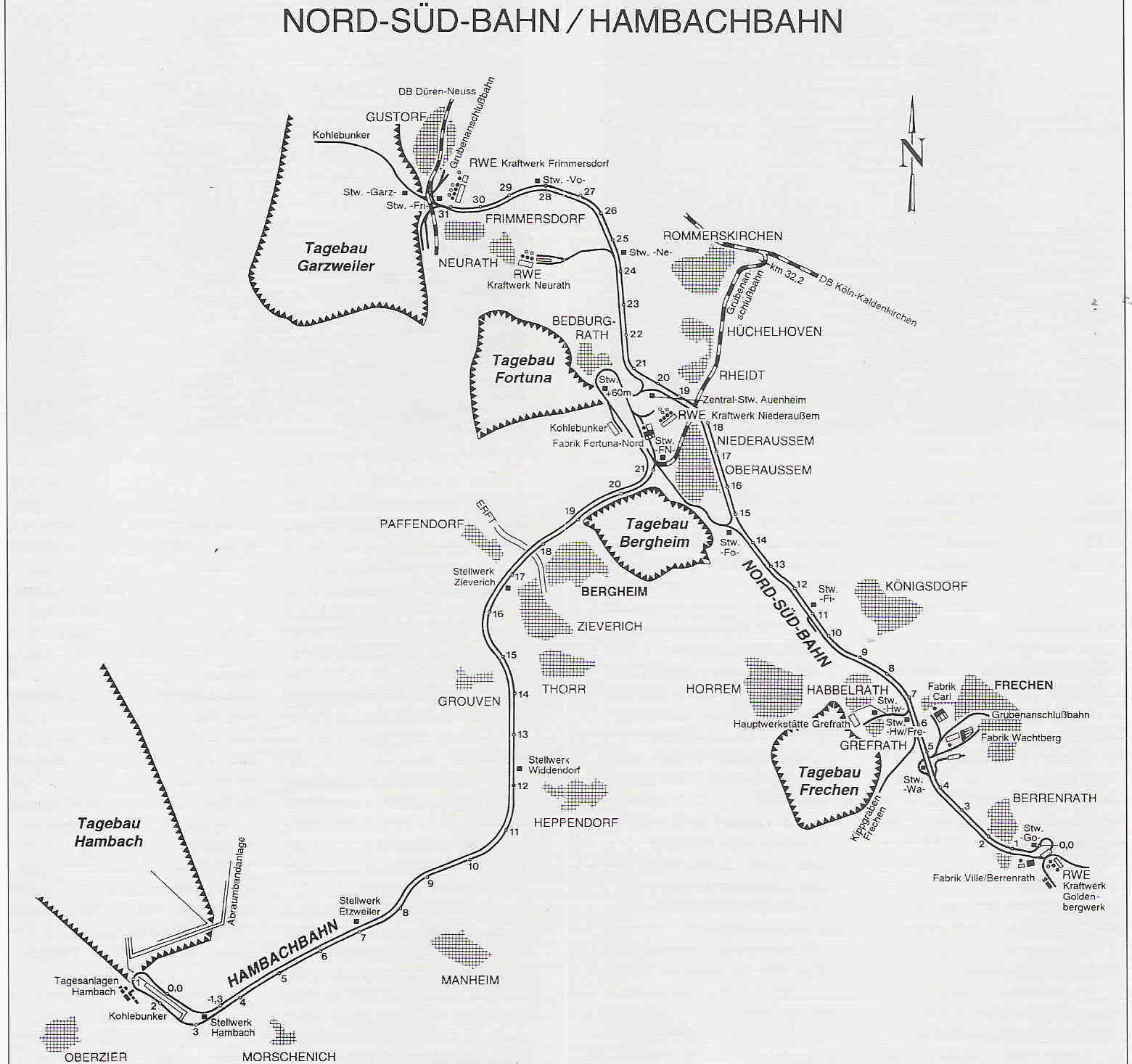
File:Rheinisches Braunkohlerevier DE.png
Own work
Author
Thoroe
Permission
(Reusing this file)
Other versions
- OpenStreetMap data
- File:North-Rhine-Westphalia-topographic-map-04.jpg
- RWE-Broschüre Tagebau Inden
- RWE-Broschüre Tagebau Hambach
- RWE-Broschüre Tagebau Garzweiler
- RWE-Broschüre Aussichtspunkte
- Bezirksregierung Köln: Braunkohlenpläne
- Forschungsstelle Rekultivierung
- Gleisplan Grubenanschlussbahn
- RWE: Umsiedlungen
- Planungen zum Erhalt von Holzweiler und zur neuen A61: 156. Sitzung des Braunkohlenausschusses am 18.05.2018 und hier: Das Nachbarschaftsmagazin von RWE Power, Sommer 2018 (PDF)
(Reusing this file)
| This work contains information from OpenStreetMap, which is made available under the Open Database License (ODbL).
The ODbL does not require any particular license for maps produced from ODbL data. Prior to 1 August 2020, map tiles produced by the OpenStreetMap Foundation were licensed under the CC-BY-SA-2.0 license. Maps produced by other people may be subject to other licences. |

|
This map image could be re-created using vector graphics as an SVG file. This has several advantages; see Commons:Media for cleanup for more information. If an SVG form of this image is available, please upload it and afterwards replace this template with
{{vector version available|new image name}}.
It is recommended to name the SVG file “Rheinisches Braunkohlerevier DE.svg”—then the template Vector version available (or Vva) does not need the new image name parameter. |
|
|
This economic map image could be re-created using vector graphics as an SVG file. This has several advantages; see Commons:Media for cleanup for more information. If an SVG form of this image is available, please upload it and afterwards replace this template with
{{vector version available|new image name}}.
It is recommended to name the SVG file “Rheinisches Braunkohlerevier DE.svg”—then the template Vector version available (or Vva) does not need the new image name parameter. |

|
This map has been made or improved in the German Kartenwerkstatt (Map Lab). You can propose maps to improve as well.
|
Licensing
This file is licensed under the Creative Commons Attribution-Share Alike 2.0 Generic license.
Attribution: Thomas Römer/OpenStreetMap data
- You are free:
- to share – to copy, distribute and transmit the work
- to remix – to adapt the work
- Under the following conditions:
- attribution – You must give appropriate credit, provide a link to the license, and indicate if changes were made. You may do so in any reasonable manner, but not in any way that suggests the licensor endorses you or your use.
- share alike – If you remix, transform, or build upon the material, you must distribute your contributions under the same or compatible license as the original.


