Click on a date/time to view the file as it appeared at that time.
| Date/Time | Thumbnail | Dimensions | User | Comment |
|---|
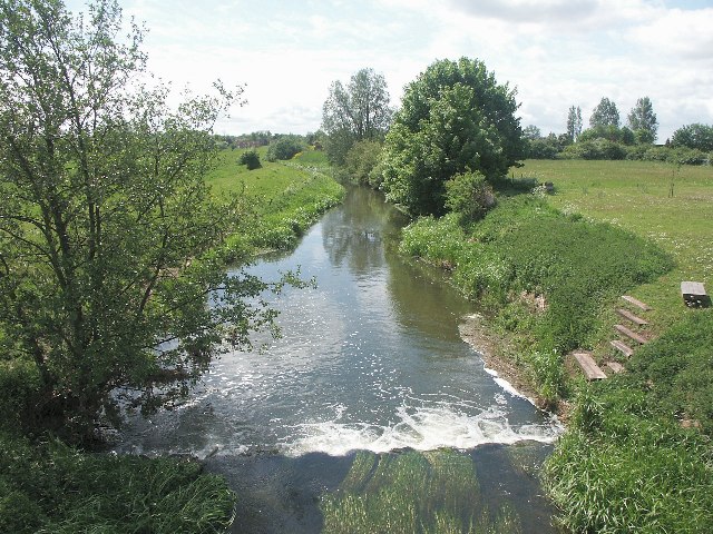
| current | 01:24, 31 January 2010 | 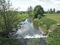 | 640 × 480 (126 KB) | GeographBot | == {{int:filedesc}} == {{Information |description={{en|1=River Bain, Haltham. Looking south along The River Bain from the road bridge between Haltham and Kirkby on Bain.}} |date=2003-05-18 |source=From [http://www.geograph.org.uk/photo/102301 geograph.org |
The following pages on the English Wikipedia use this file (pages on other projects are not listed):
This file contains additional information, probably added from the digital camera or scanner used to create or digitize it.
If the file has been modified from its original state, some details may not fully reflect the modified file.