Click on a date/time to view the file as it appeared at that time.
| Date/Time | Thumbnail | Dimensions | User | Comment |
|---|
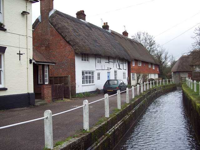
| current | 05:20, 4 February 2011 | 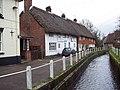 | 640 × 480 (106 KB) | GeographBot | == {{int:filedesc}} == {{Information |description={{en|1=River Meon at East Meon The River Meon is only 21 miles long from is source (a series of springs at South Farm) south of the village of East Meon to its mouth at Titchfield Haven.}} |date=2007-02-23 |
The following page uses this file:
The following other wikis use this file:
- Usage on arz.wikipedia.org
- Usage on br.wikipedia.org
- Usage on ceb.wikipedia.org
- Usage on fr.wikipedia.org
- Usage on www.wikidata.org
This file contains additional information, probably added from the digital camera or scanner used to create or digitize it.
If the file has been modified from its original state, some details may not fully reflect the modified file.