File:Robertson Map.jpg
Click on a date/time to view the file as it appeared at that time.
| Date/Time | Thumbnail | Dimensions | User | Comment | |
|---|---|---|---|---|---|
| current | 09:47, 26 February 2008 | 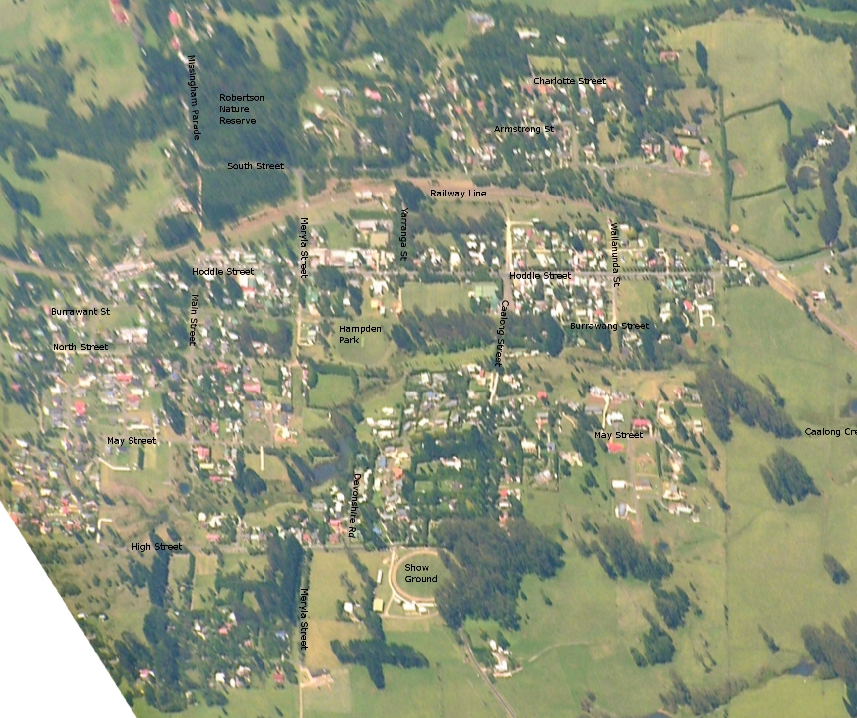 | 1,727 × 1,447 (725 KB) | Graeme Bartlett | {{Information |Description=Map of Robertson NSW based on aerial photo, with street names |Source=self-made |Date=25 February 2008 |Author= Graeme Bartlett |Permission= |other_versions= }} |
File usage
The following pages on the English Wikipedia use this file (pages on other projects are not listed):