File:Rotherhithe OS OpenData Map.png
Click on a date/time to view the file as it appeared at that time.
| Date/Time | Thumbnail | Dimensions | User | Comment | |
|---|---|---|---|---|---|
| current | 22:41, 10 January 2012 | 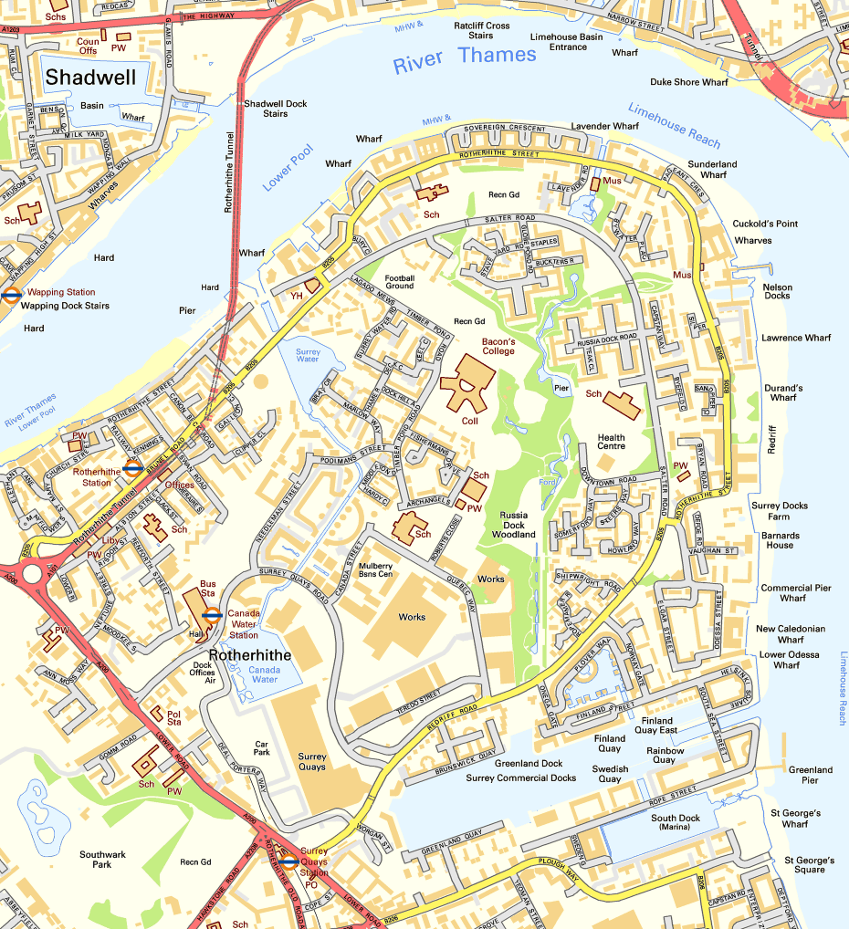 | 930 × 1,018 (298 KB) | Prioryman | {{Information |Description=Map of Rotherhithe, London |Source=Ordnance Survey OpenData |Date=10 January 2011 |Author=Ordnance Survey with modifications by Prioryman |Permission={{OS OpenData}} |other_versions= }} [[Category:Rotherhithe |
File usage
The following pages on the English Wikipedia use this file (pages on other projects are not listed):
Global file usage
The following other wikis use this file:
- Usage on el.wikipedia.org
- Usage on es.wikipedia.org
- Usage on fr.wikipedia.org
- Usage on nl.wikipedia.org