File:SL Ella Asv2020-01 Img22 View From Little Adams Peak.jpg
Thank you.
| Camera location | | View this and other nearby images on: OpenStreetMap |
|---|
This image was uploaded as part of Wiki Loves Earth 2020.
|
 |
| Copyleft: This work of art is free; you can redistribute it and/or modify it according to terms of the Free Art License. You will find a specimen of this license on the Copyleft Attitude site as well as on other sites. |
Click on a date/time to view the file as it appeared at that time.
| Date/Time | Thumbnail | Dimensions | User | Comment | |
|---|---|---|---|---|---|
| current | 01:16, 12 May 2020 | 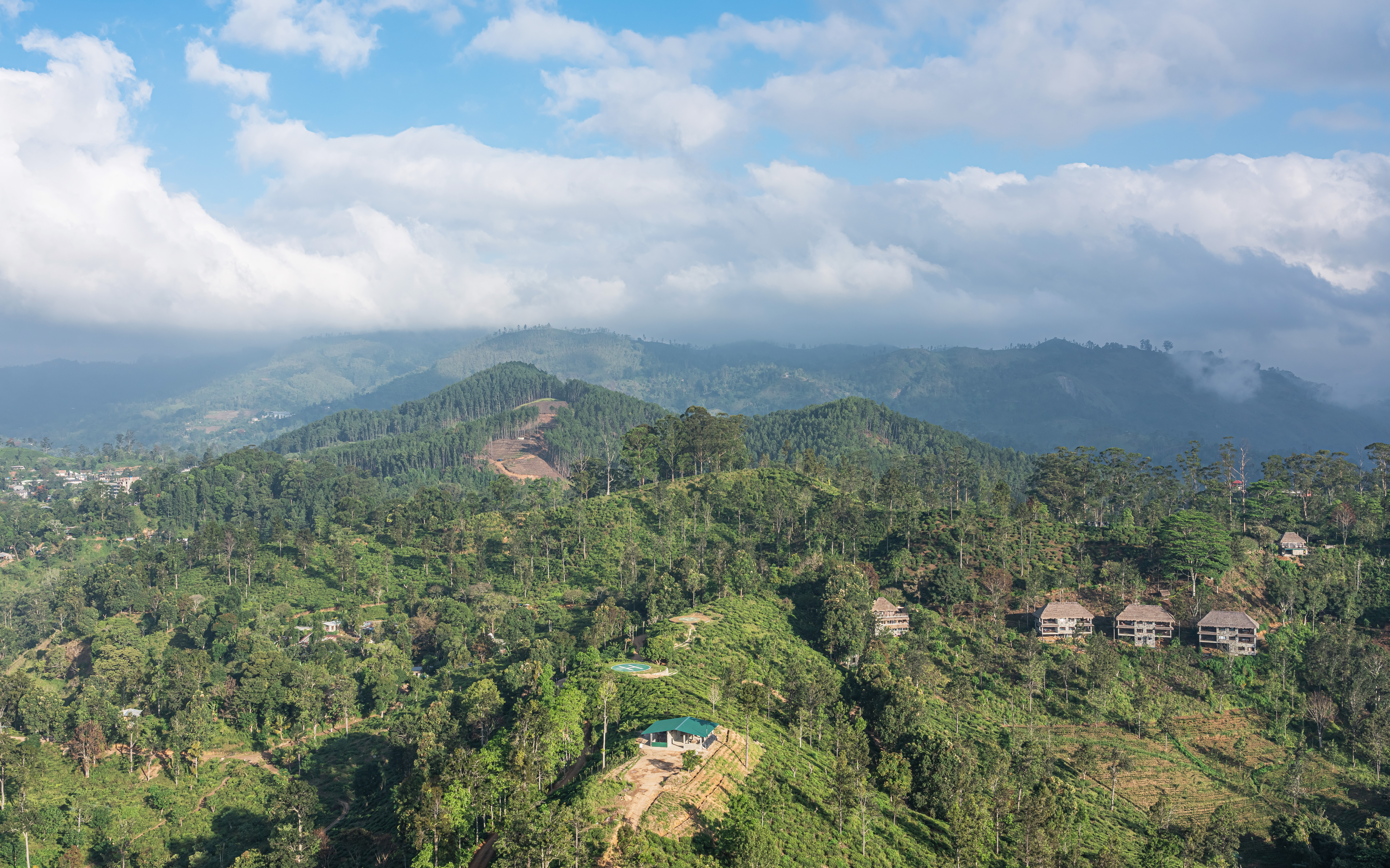 | 7,767 × 4,854 (12.48 MB) | A.Savin | {{User:A.Savin/F|L=0 |Description= {{en|View from Little Adam's Peak in Ella, Sri Lanka}} {{ru|Вид с вершины Малого Адамова пика в городе Элла, Шри-Ланка}} |Year=2020 |Country=Sri Lanka |Month=01 |Day=24}} {{Location|6|51|54.3|N|81|3|46.7|E|region:LK-8}} {{Wiki Loves Earth 2020|lk}} Category:Taken with Sony ILCE-7RM3 Category:Taken with Sony FE 24-105mm F4 G OSS Category:Views from Little Adam's Peak Category:Clouds and blue sky in Sri Lanka |
The following other wikis use this file: