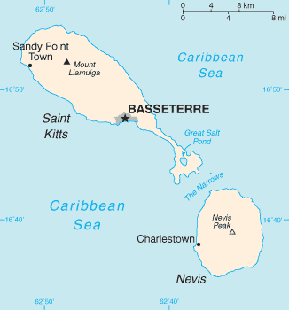
File:Saint Kitts And Nevis-CIA WFB Map.png

| date/time | username | edit summary |
|---|---|---|
| 01:08, 4. Nov 2004 | de:Benutzer:Zenogantner | |
| 23:47, 20. Okt 2003 | de:Benutzer:Head | (Karte Saint Kitts und Nevis, public domain aus dem CIA World Factbook: https://www.cia.gov/library/publications/the-world-factbook/geos/sc.html) |
Original upload log
Legende: (Aktuell) = dies ist das aktuelle Bild, (Löschen) = lösche diese alte Version, (Zurücksetzen) = verwende wieder diese alte Version.
- (Löschen) (Aktuell) 18:13, 1. Mär 2004 . . de:Benutzer:Raymond Raymond ( de:Benutzer_Diskussion:Raymond Diskussion) . . 330 x 355 (5252 Byte) (Karte ins Deutsche übersetzt)
- (Löschen) (Zurücksetzen) 23:47, 20. Okt 2003 . . de:Benutzer:Head Head ( de:Benutzer_Diskussion:Head Diskussion) . . 330 x 355 (6028 Byte) (Karte Saint Kitts und Nevis, public domain aus dem CIA World Factbook: https://www.cia.gov/library/publications/the-world-factbook/geos/sc.html archive copy at the Wayback Machine)

