
File history
Click on a date/time to view the file as it appeared at that time.
| Date/Time | Thumbnail | Dimensions | User | Comment | |
|---|---|---|---|---|---|
| current | 15:17, 23 February 2011 | 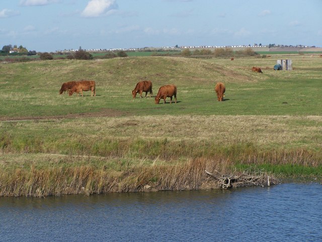 | 640 × 481 (78 KB) | GeographBot | == {{int:filedesc}} == {{Information |description={{en|1=Saltworks in Harty Marshes Saltwork hillocks of medieval times, surrounded by cattle. Looking north towards Leysdown-on-Sea}} |date=2008-10-22 |source=From [http://www.geograph.org.uk/photo/1023372 |
File usage
The following page uses this file: