Click on a date/time to view the file as it appeared at that time.
| Date/Time | Thumbnail | Dimensions | User | Comment |
|---|
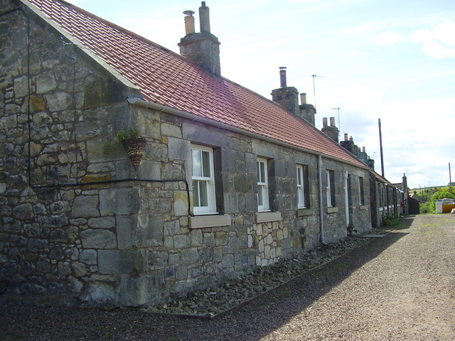
| current | 19:34, 7 February 2011 | 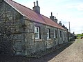 | 640 × 480 (92 KB) | GeographBot | == {{int:filedesc}} == {{Information |description={{en|1=Samuelston, East Lothian. A row of cottages}} |date=2007-07-30 |source=From [http://www.geograph.org.uk/photo/662224 geograph.org.uk] |author=[http://www.geograph.org.uk/profile/21251 james denham] |
The following pages on the English Wikipedia use this file (pages on other projects are not listed):
This file contains additional information, probably added from the digital camera or scanner used to create or digitize it.
If the file has been modified from its original state, some details may not fully reflect the modified file.