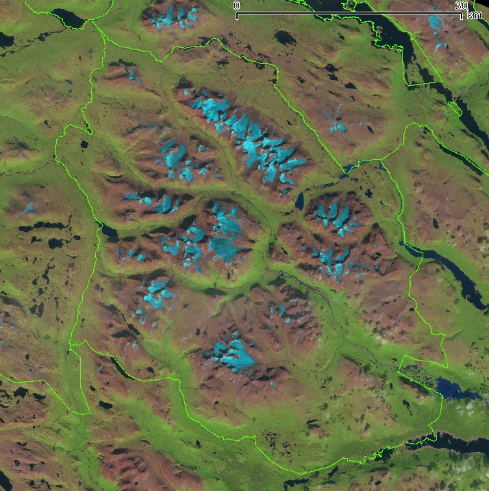
File:Sarek National Park Landsat Image.jpg
Approximate geographic limits of this cropped photo :
* N : 67.7
* S : 66.9
* E : 18.36
* W : 17.0 ; Projection : SWEREF zon 17° 15' (information); système géodésique WGS84.
Author
NASA + Bourrichon (reprojection, découpage)
* N : 67.7
* S : 66.9
* E : 18.36
* W : 17.0 ; Projection : SWEREF zon 17° 15' (information); système géodésique WGS84.
Licensing
| This file is in the public domain in the United States because it was solely created by NASA. NASA copyright policy states that "NASA material is not protected by copyright unless noted". (See Template:PD-USGov, NASA copyright policy page or JPL Image Use Policy.) | ||
 |
Warnings:
|