File:Satellite Image Of Missouri River During Great Flood Of 1993.jpg
العربية ∙ čeština ∙ Deutsch ∙ Zazaki ∙ English ∙ español ∙ eesti ∙ suomi ∙ français ∙ hrvatski ∙ magyar ∙ italiano ∙ 日本語 ∙ 한국어 ∙ македонски ∙ മലയാളം ∙ Plattdüütsch ∙ Nederlands ∙ polski ∙ português ∙ română ∙ русский ∙ sicilianu ∙ slovenščina ∙ Türkçe ∙ Tiếng Việt ∙ 简体中文 ∙ 繁體中文 ∙ +/−

|
Original upload log
Transferred from en.wikipedia to Commons by Ww2censor using CommonsHelper.
The original description page was
here. All following user names refer to en.wikipedia.
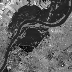
- 2004-05-02 01:00 Kevin Saff 250×250× (18977 bytes) Satellite image of Missouri River in 1993
Add a one-line explanation of what this file represents
Click on a date/time to view the file as it appeared at that time.
| Date/Time | Thumbnail | Dimensions | User | Comment |
|---|
| current | 16:28, 24 July 2013 |  | 250 × 250 (19 KB) | File Upload Bot (Magnus Manske) | Transfered from en.wikipedia by User:Ww2censor using CommonsHelper |
The following pages on the English Wikipedia use this file (pages on other projects are not listed):