File:Scandinavia1219.png
Click on a date/time to view the file as it appeared at that time.
| Date/Time | Thumbnail | Dimensions | User | Comment | |
|---|---|---|---|---|---|
| current | 17:18, 16 September 2016 | 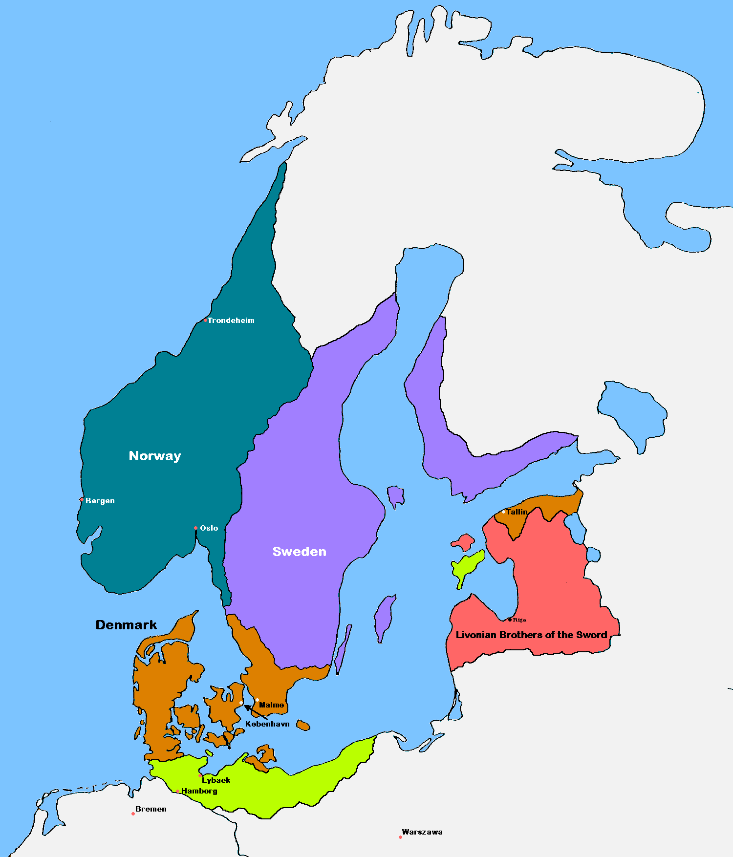 | 1,500 × 1,754 (41 KB) | VulpesVulpes42 | According to the description, the cities of Stockholm and Göteborg did not exist in 1219, so I removed them from the map. |
| 14:37, 12 August 2009 |  | 1,500 × 1,754 (68 KB) | MasterOfHisOwnDomain | Update of the historical and political map, created in 2005 by Kasper Holl. It is a compressed format, has an easier colour scheme and has greater sized labels. {{Self|GFDL|Cc-by-sa-3.0-migrated}} Category:Maps of the history of Denmark [[Category: |
File usage
The following pages on the English Wikipedia use this file (pages on other projects are not listed):
- Battle of Bornhöved (1227)
- Borders of Denmark
- Christianization of Pomerania
- Denmark–Sweden border
- Dominium maris baltici
- Duchy of Pomerania
- History of Denmark
- Northern Crusades
- Otto I, Duke of Brunswick-Lüneburg
- Valdemar II of Denmark
- User:Falcaorib/Baltic States
- User:Falcaorib/Sweden and Finland
- Template:Scandinavia map, 1219
Global file usage
The following other wikis use this file:
- Usage on ast.wikipedia.org
- Usage on be.wikipedia.org
- Usage on ca.wikipedia.org
- Usage on cs.wikipedia.org
- Usage on da.wikipedia.org
- Usage on de.wikipedia.org
- Usage on dsb.wikipedia.org
- Usage on el.wikipedia.org
- Usage on eo.wikipedia.org
- Usage on es.wikipedia.org
- Usage on et.wikipedia.org
- Usage on fr.wikipedia.org
- Usage on fy.wikipedia.org
- Usage on id.wikipedia.org
- Usage on is.wikipedia.org
- Usage on it.wikipedia.org
- Usage on ja.wikipedia.org
- Usage on la.wikipedia.org
- Usage on lt.wikipedia.org
- Usage on lv.wikipedia.org
- Usage on nn.wikipedia.org
- Usage on no.wikipedia.org
View more global usage of this file.