File:Scilly Isles Locator Map.png
Click on a date/time to view the file as it appeared at that time.
| Date/Time | Thumbnail | Dimensions | User | Comment | |
|---|---|---|---|---|---|
| current | 04:11, 18 September 2010 | 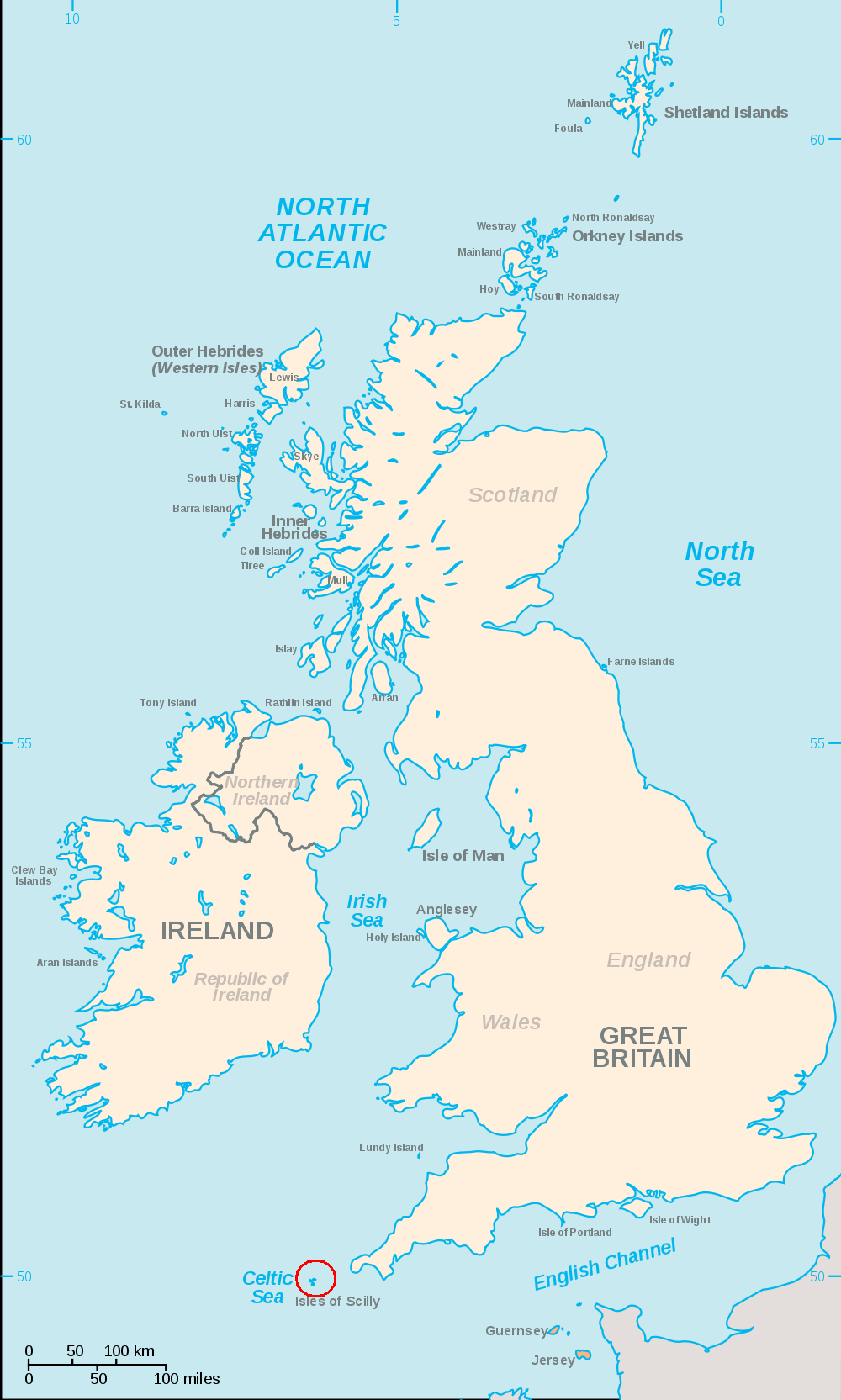 | 1,000 × 1,665 (246 KB) | Ruhrfisch | == {{int:filedesc}} == {{Information |Description=An SVG map of the British Isles, with the largest islands and archipelagos labelled and a red circle around the Scilly Isles. |Source= File:British Isles.svg |Date= 2010-09 |Author= [[User:Smurrayinch |
File usage
The following pages on the English Wikipedia use this file (pages on other projects are not listed):
Global file usage
The following other wikis use this file:
- Usage on cs.wikipedia.org
- Usage on hy.wikipedia.org
- Usage on ja.wikipedia.org
- Usage on mk.wikipedia.org
- Usage on simple.wikipedia.org