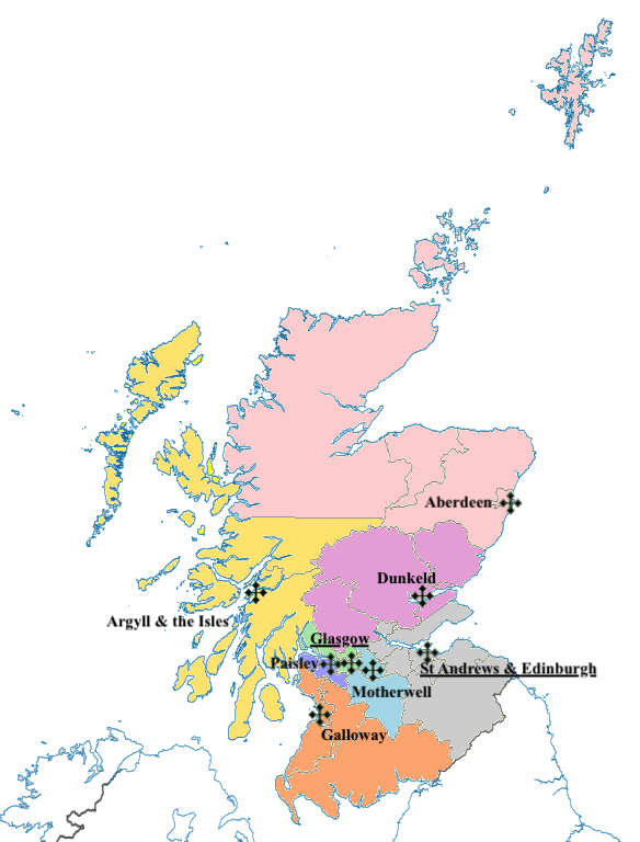
File:Scottish Catholic Dioceses.png
Ordnance Survey OpenData:
Author
Pjposullivan, created from File:Scottish council areas 2011.svg by Nilfanion which used Ordnance Survey data.
Permission
(Reusing this file)


- County boundaries (from Boundary-Line product)
- Coastline data for Great Britain (from Boundary-Line product)
(Reusing this file)
This file is licensed under the Creative Commons Attribution-Share Alike 3.0 Unported license.
Attribution: Contains Ordnance Survey data © Crown copyright and database right
- You are free:
- to share – to copy, distribute and transmit the work
- to remix – to adapt the work
- Under the following conditions:
- attribution – You must give appropriate credit, provide a link to the license, and indicate if changes were made. You may do so in any reasonable manner, but not in any way that suggests the licensor endorses you or your use.
- share alike – If you remix, transform, or build upon the material, you must distribute your contributions under the same or compatible license as the original.


