File:Scythia Minor Map.jpg
Click on a date/time to view the file as it appeared at that time.
| Date/Time | Thumbnail | Dimensions | User | Comment | |
|---|---|---|---|---|---|
| current | 08:30, 6 September 2018 | 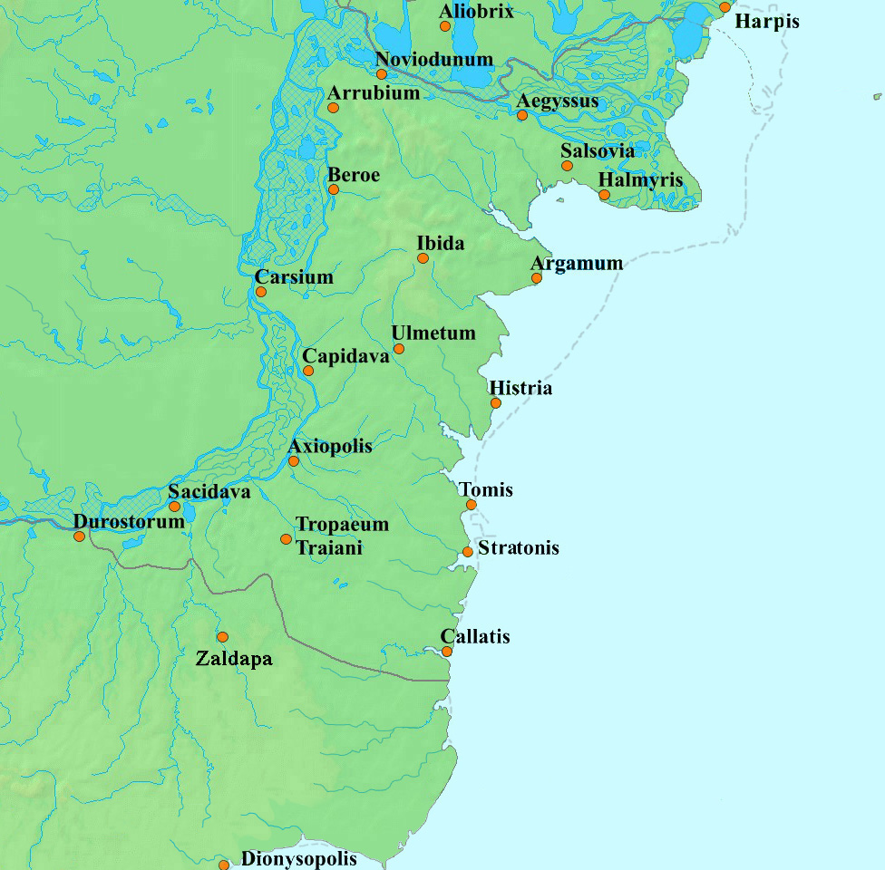 | 976 × 960 (357 KB) | Trecătorul răcit | 12 roman millia = 17,5 km, antic shoreline since [https://commons.wikimedia.org/key/File:Danube_Delta_evolution.gif] |
| 13:05, 10 August 2016 |  | 976 × 960 (357 KB) | Julieta39 | Mini-detaliu : lacul Obretin a fost traversat de canalul Sulina în sec. XIX | |
| 17:59, 20 September 2015 |  | 976 × 960 (357 KB) | Spiridon Ion Cepleanu | Zaldapa, Dionysopolis | |
| 17:57, 6 August 2015 |  | 938 × 884 (345 KB) | Spiridon Ion Cepleanu | Better Tomis shoreline | |
| 17:53, 6 August 2015 |  | 938 × 884 (344 KB) | Spiridon Ion Cepleanu | Antic shoreline since Grigore Antipa, "Marea Neagra", Bucharest 1940 | |
| 15:54, 4 April 2010 |  | 950 × 886 (334 KB) | Baltaci | fixed spelling Sucidava - > Sacidava | |
| 14:00, 4 February 2006 |  | 950 × 886 (195 KB) | Bogdan | made by me using a pd map from www.demis.nl |
File usage
The following pages on the English Wikipedia use this file (pages on other projects are not listed):
Global file usage
The following other wikis use this file:
- Usage on be.wikipedia.org
- Usage on bg.wikipedia.org
- Usage on ca.wikipedia.org
- Usage on ceb.wikipedia.org
- Usage on cs.wikipedia.org
- Usage on de.wikipedia.org
- Usage on de.wikivoyage.org
- Usage on es.wikipedia.org
- Usage on eu.wikipedia.org
- Usage on fi.wikipedia.org
- Usage on fr.wikipedia.org
- Usage on he.wikipedia.org
- Usage on it.wikipedia.org
- Usage on ko.wikipedia.org
- Usage on la.wikipedia.org
- Usage on lt.wikipedia.org
- Usage on nl.wikipedia.org
- Usage on no.wikipedia.org
- Usage on pl.wikipedia.org
- Usage on pt.wikipedia.org
- Usage on ro.wikipedia.org
- Usage on sh.wikipedia.org
- Usage on sl.wikipedia.org
- Usage on sr.wikipedia.org
- Usage on tr.wikipedia.org
- Usage on uk.wikipedia.org
- Usage on www.wikidata.org