File:Shoyok And Nubra Valley Map.jpg
Click on a date/time to view the file as it appeared at that time.
| Date/Time | Thumbnail | Dimensions | User | Comment | |
|---|---|---|---|---|---|
| current | 17:32, 31 October 2009 | 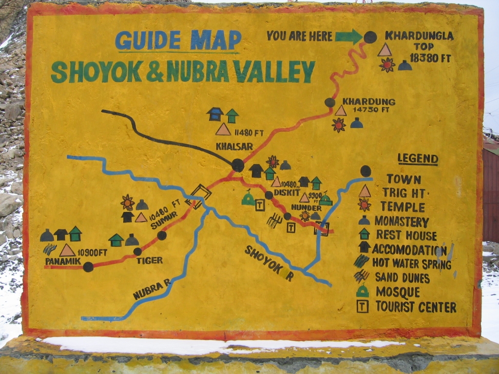 | 1,024 × 768 (585 KB) | E2v | {{Information |Description={{en|1=Shoyok and Nubra Valley handpainted map from the Khardung La point of view. This is a wall standing on the top of Khardung La and mapping the way to Khalsar.}} |Source={{own}} |Author=E2v |Date=2004-07-12 |Pe |
File usage
The following 4 pages use this file:
Global file usage
The following other wikis use this file:
- Usage on es.wikipedia.org
- Usage on it.wikipedia.org
- Usage on ja.wikipedia.org
- Usage on kn.wikipedia.org
- Usage on ml.wikipedia.org
- Usage on pnb.wikipedia.org
- Usage on ru.wikipedia.org
- Usage on ta.wikipedia.org
- Usage on uk.wikipedia.org
- Usage on vi.wikipedia.org
- Usage on www.wikidata.org
- Usage on zh.wikipedia.org