Click on a date/time to view the file as it appeared at that time.
| Date/Time | Thumbnail | Dimensions | User | Comment |
|---|
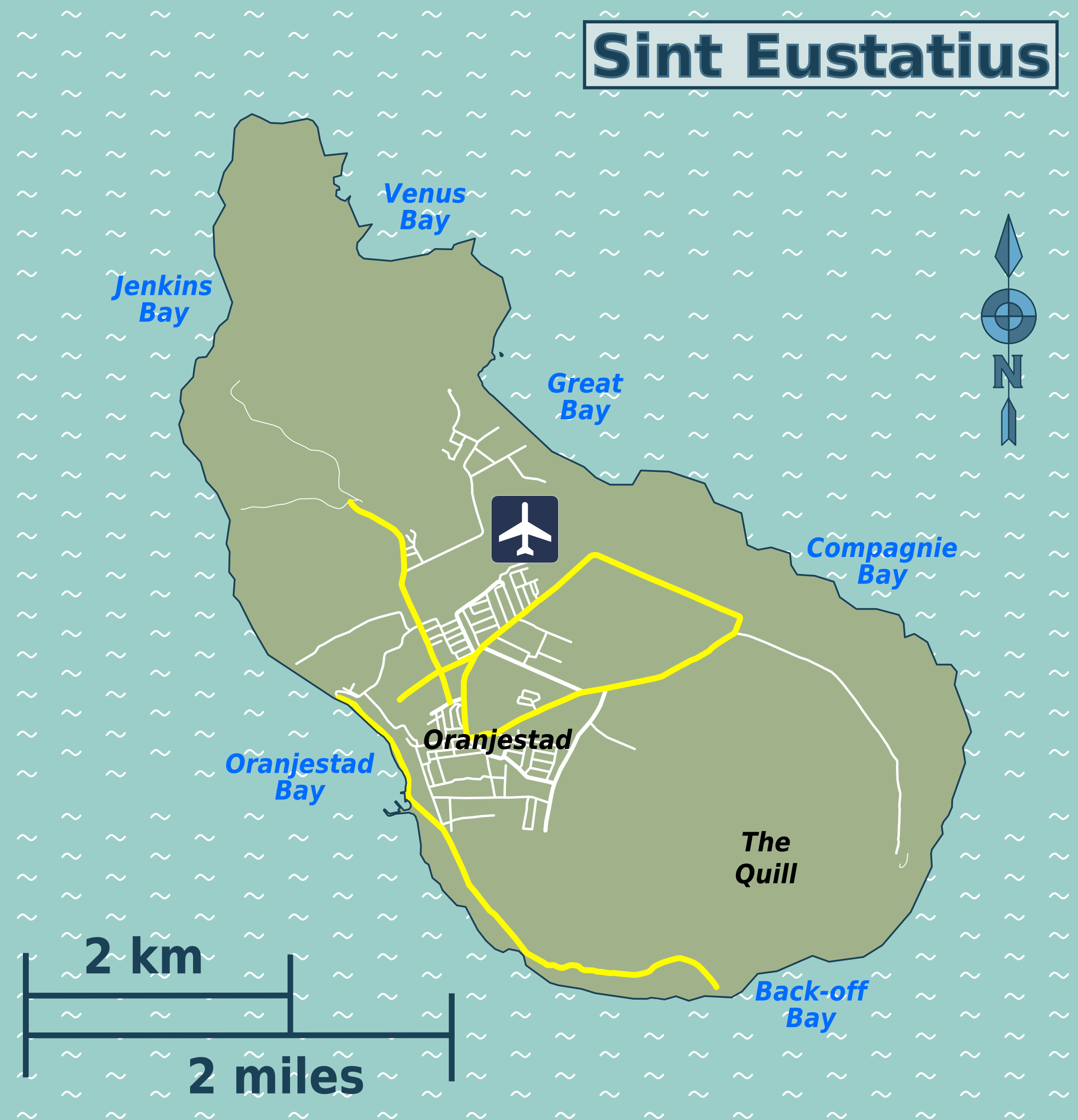
| current | 17:09, 23 May 2013 |  | 2,167 × 2,252 (617 KB) | Peterfitzgerald | {{Information |Description ={{en|1=Travel map of Sint Eustatius}} |Source =File:Various tiny Antilles travel maps.svg |Author =Peter Fitzgerald, [http://openstreetmap.org OpenStreetMap] |Date =... |
The following pages on the English Wikipedia use this file (pages on other projects are not listed):
The following other wikis use this file:
- Usage on af.wikipedia.org
- Usage on ar.wikipedia.org
- Usage on arz.wikipedia.org
- Usage on ca.wikipedia.org
- Usage on cs.wikivoyage.org
- Usage on de.wikipedia.org
- Usage on de.wikivoyage.org
- Usage on el.wikipedia.org
- Usage on en.wikivoyage.org
- Usage on eo.wikipedia.org
- Usage on es.wikipedia.org
- Usage on eu.wikipedia.org
- Usage on fa.wikipedia.org
- Usage on fr.wikipedia.org
- Usage on gl.wikipedia.org
- Usage on id.wikipedia.org
- Usage on incubator.wikimedia.org
- Usage on io.wikipedia.org
- Usage on it.wikivoyage.org
- Usage on ja.wikipedia.org
- Usage on lfn.wikipedia.org
- Usage on ms.wikipedia.org
- Usage on pap.wikipedia.org
- Usage on sk.wikipedia.org
- Usage on sl.wikipedia.org
- Usage on ta.wikipedia.org
- Usage on tr.wikipedia.org
- Usage on uk.wikipedia.org
- Usage on vi.wikipedia.org
- Usage on vls.wikipedia.org
- Usage on www.wikidata.org
- Usage on zh.wikivoyage.org
This file contains additional information, probably added from the digital camera or scanner used to create or digitize it.
If the file has been modified from its original state, some details may not fully reflect the modified file.