
File history
Click on a date/time to view the file as it appeared at that time.
| Date/Time | Thumbnail | Dimensions | User | Comment | |
|---|---|---|---|---|---|
| current | 20:50, 6 July 2014 | 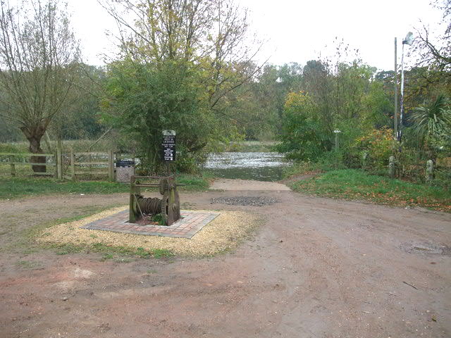 | 640 × 480 (79 KB) | Rocknrollmancer | Lightened |
| 18:58, 23 February 2011 |  | 640 × 480 (94 KB) | GeographBot | == {{int:filedesc}} == {{Information |description={{en|1=Site of Hazelford A crossing point of the Trent from prehistoric times. Initially as a ford - the Trent being shallower prior to dredging and the construction of weirs - and then by ferry up until t |
File usage
The following 2 pages use this file:
Global file usage
The following other wikis use this file: