File:South Africa Provinces Showing FS.png
Click on a date/time to view the file as it appeared at that time.
| Date/Time | Thumbnail | Dimensions | User | Comment | |
|---|---|---|---|---|---|
| current | 14:16, 29 April 2006 | 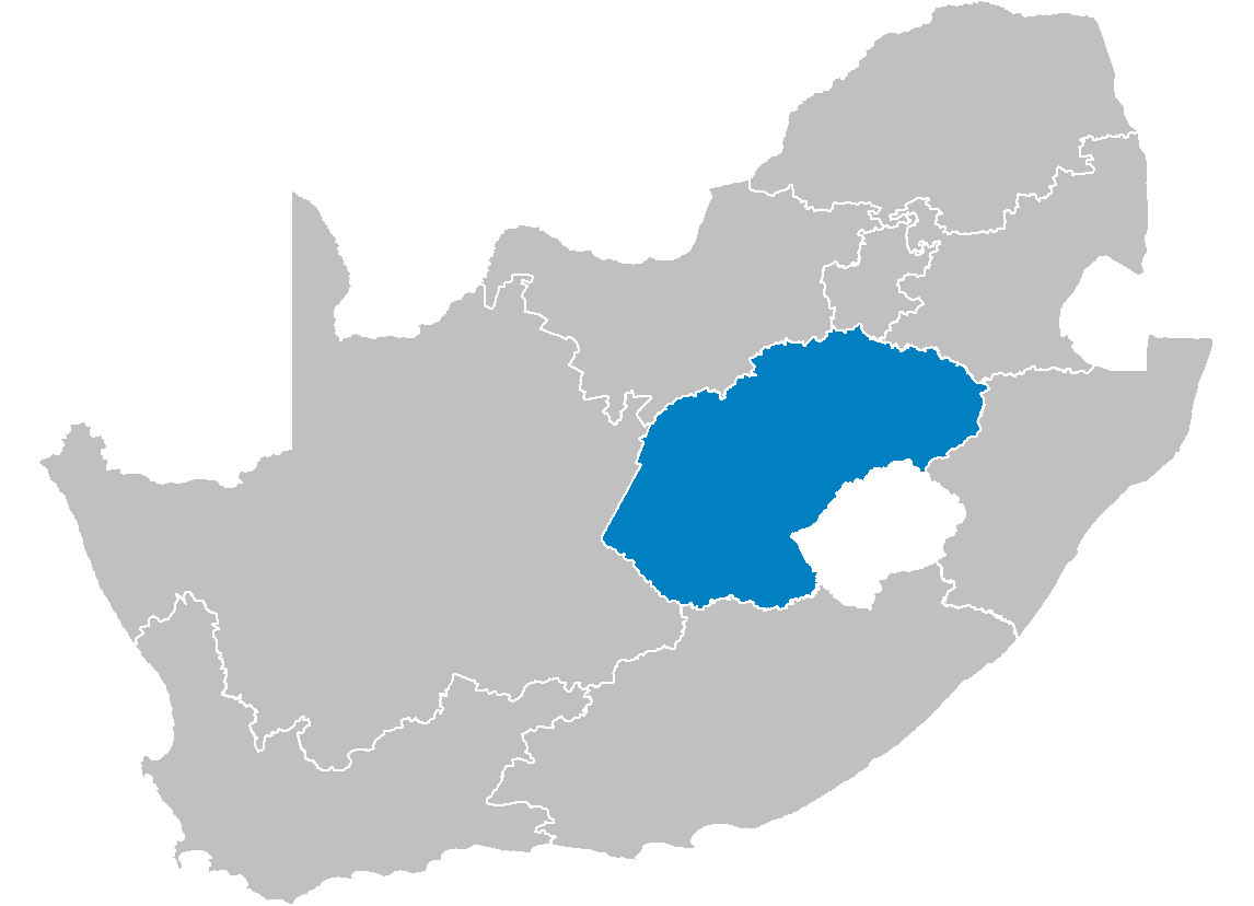 | 1,146 × 828 (20 KB) | Waynedam | == Summary == {{Information| |Description=Map of South Africa showing the Free State province after the 12th amendment of the constitution in December 2005. |Source=Created by me from Shapefile data from the [http://www.demarcation.org.za/ Municipal Dema |
File usage
The following pages on the English Wikipedia use this file (pages on other projects are not listed):
- Aberfeldy, Free State
- Air Force Base Bloemspruit
- Arboretum, Bloemfontein
- Arlington, South Africa
- Ashbury, Bloemfontein
- Balkfontein
- Baysvalley, Bloemfontein
- Bell's Pass
- Bloemfontein Central
- Bloemside
- Bolata, Free State
- Brandwag, Bloemfontein
- Caledon Nature Reserve
- Dan Pienaar, Bloemfontein
- Edenville, South Africa
- Ehrlich Park, Bloemfontein
- Fauna, Bloemfontein
- Fichardt Park
- Fleurdal
- Florisbad
- Fouriesburg
- Free State National Botanical Garden
- Gardenia Park
- Gariep Dam (town)
- Generaal De Wet, Bloemfontein
- Grasslands, Bloemfontein
- Grootvlei Prison
- Heidedal
- Hennenman
- Hertzogville
- Heuwelsig
- Hobhouse, South Africa
- Holly Country
- Hospitaalpark
- Kalkfontein Nature Reserve
- Kerkenberg
- Kestell
- Koppies
- Koppies Dam Nature Reserve
- Kragbron
- Ladybrand
- Langenhoven Park
- Leratswana
- Lourierpark
- Luckhoff
- Mabolela
- Makwane
- Maria Moroka Nature Reserve
- Marquard
- Marseilles, Free State
- Maselspoort
- Matsieng, Free State
- Monontsha
- Navalsig
- Noordhoek, Bloemfontein
- Odendaalsrus
- Oranjeville
- Pellissier, Bloemfontein
- Petrusburg
- Phuthaditjhaba
- Reddersburg
- Riebeeckstad
- Rodenbeck
- Sandveld Nature Reserve
- Seekoeivlei Nature Reserve
- Soetdoring Nature Reserve
- Soutpan
- Swinburne, Free State
- Thaba Bosiu, Free State
- Thaba Phatswa
- Thaba Tshweu
- Thibela
- Tseki
- Tshiame
- Tussen-die-Riviere Nature Reserve
- Tweeling
- Uitkoms
- Uitsig, Bloemfontein
- Universitas, Bloemfontein
- Van Stadensrus
- Ventersburg
- Verkeerdevlei
- Vierfontein
- Viljoensdrif
- Vrede
- Vredefort
- Warden, Free State
- Westdene, Bloemfontein
- Westminster, South Africa
- Whites, Free State
- Wilgehof, Bloemfontein
- Willem Pretorius Game Reserve
- Willows, Bloemfontein
- Zamani (township)
- Zastron
- Template:FreeState-geo-stub
Global file usage
The following other wikis use this file:
- Usage on ar.wikipedia.org
- Usage on be-tarask.wikipedia.org
- Usage on de.wikipedia.org
- Usage on eo.wikipedia.org
- Usage on fo.wikipedia.org
- Usage on id.wikipedia.org
- Usage on nl.wikipedia.org
- Usage on nov.wikipedia.org
- Usage on no.wikipedia.org
- Usage on nso.wikipedia.org
- Usage on ny.wikipedia.org
- Usage on ro.wikipedia.org
- Usage on ss.wikipedia.org
- Usage on st.wikipedia.org
- Usage on sw.wikipedia.org
- Usage on tum.wikipedia.org
- Usage on vo.wikipedia.org
- Usage on www.wikidata.org
- Usage on zu.wikipedia.org