File:South Africa Provinces Showing WC.png
Click on a date/time to view the file as it appeared at that time.
| Date/Time | Thumbnail | Dimensions | User | Comment | |
|---|---|---|---|---|---|
| current | 14:21, 29 April 2006 | 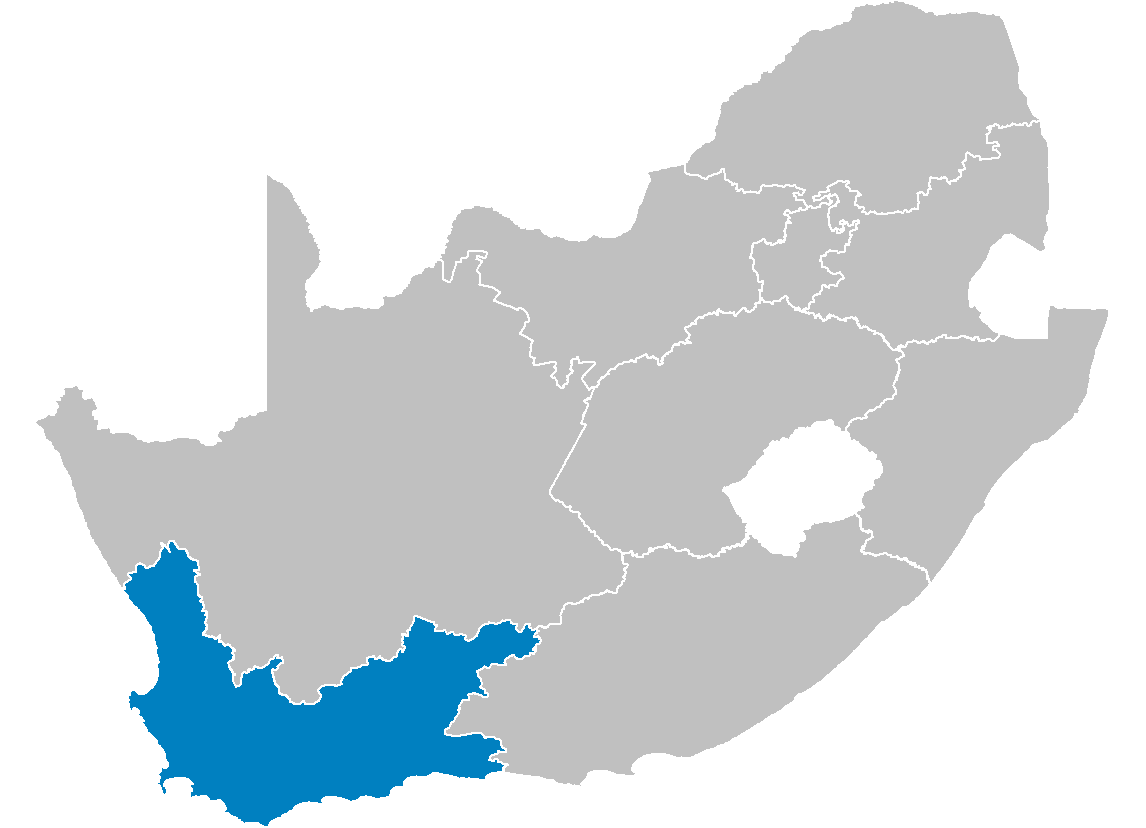 | 1,146 × 828 (20 KB) | Waynedam | == Summary == {{Information| |Description=Map of South Africa showing the Western Cape province after the 12th amendment of the constitution in December 2005. |Source=Created by me from Shapefile data from the [http://www.demarcation.org.za/ Municipal De |
File usage
The following pages on the English Wikipedia use this file (pages on other projects are not listed):
- Aan de Doorns
- Akkedisberg Pass
- Ashton, South Africa
- Bakoven
- Belhar
- Biedouw Valley
- Bird Island Nature Reserve (South Africa)
- Birkenhead, South Africa
- Bishop Lavis
- Bishopscourt, Cape Town
- Blinkberg Pass
- Boggomsbaai
- Bonnievale, South Africa
- Bonteheuwel
- Bothmanskloof Pass
- Bracken Hill
- Brandvlei Dam
- Brandwag, Mossel Bay
- Burgers Pass
- Capri Village
- Chatsworth, Western Cape
- Church Square (Cape Town)
- Clovelly, Cape Town
- Dasklip Pass
- De Jagers Pass
- De Oude Weg
- Dennehof, South Africa
- Drakenstein Lion Park
- Du Plessis Pass
- Duiwenhoks River
- Duynefontein
- Dwarskloof Pass
- Ebenhaeser
- Edgemead
- Eendekuil
- Fairview, Mossel Bay
- Firgrove, Western Cape
- Floorshoogte Pass
- Franschhoek Pass
- Garcia's Pass
- Glen Beach
- Gondwana Game Reserve
- Green Point Common
- Grotto Bay
- Gydo Pass
- Gysmanshoek Pass
- Haarlem, South Africa
- Hangberg
- Harfield Village
- Harkerville
- Heideveld
- Herbertsdale
- Hex River Pass
- Hex River Poort Pass
- Hoekwil
- Houwhoek Pass
- Hydra Bay
- Jakkalsfontein
- Jongensfontein
- Kalbaskraal
- Karatara
- Karatera Pass
- Kensington, Cape Town
- Langkloof Mountains
- Languedoc, South Africa
- Malgas
- Mbekweni
- Meadowridge
- Montague Gardens, Cape Town
- Norwood, Western Cape
- Olifants River (Southern Cape)
- Olivedale, Western Cape
- Onmeetbarediepgat
- Orange Kloof
- Oukloof
- Papiesvlei
- Parel Vallei
- Raithby, South Africa
- Rheenendal
- Richwood, Western Cape
- Rietpoort
- Riviersonderend Mountains
- Romansrivier
- Schoemanshoek
- Simondium
- Soetendalsvlei
- Steenkampskraal mine
- Stormsvlei
- Sunnydale, Cape Town
- Van Dyks Bay
- Vanrhynsdorp
- Voëlklip
- Wemmers River
- Wetton, Cape Town
- Wynberg Park
- Template:WesternCape-geo-stub
Global file usage
The following other wikis use this file:
- Usage on ar.wikipedia.org
- Usage on bg.wikipedia.org
- Usage on de.wikipedia.org
- Usage on en.wikinews.org
- Usage on fo.wikipedia.org
- Usage on ms.wikipedia.org
- Usage on nl.wikipedia.org
- Usage on nov.wikipedia.org
- Usage on no.wikipedia.org
- Usage on nso.wikipedia.org
- Usage on ny.wikipedia.org
- Usage on pl.wikipedia.org
- Usage on pl.wikivoyage.org
- Usage on ro.wikipedia.org
- Usage on st.wikipedia.org
- Usage on sw.wikipedia.org
- Usage on vo.wikipedia.org
- Usage on www.wikidata.org
- Usage on zu.wikipedia.org