21 Aug, 2019
By, Wikipedia
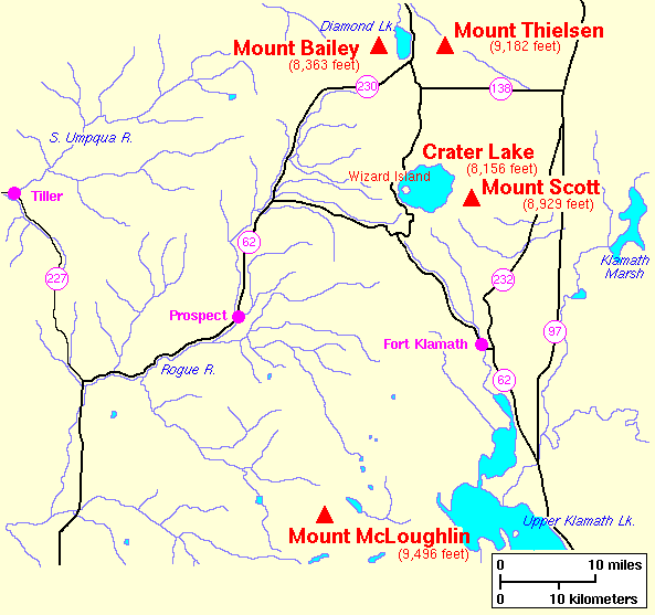
File:Southern Oregon Cascades Map.png
Bahasa Indonesia ∙ català ∙ čeština ∙ Deutsch ∙ eesti ∙ English ∙ español ∙ français ∙ galego ∙ italiano ∙ Nederlands ∙ português ∙ polski ∙ sicilianu ∙ suomi ∙ Tiếng Việt ∙ Türkçe ∙ български ∙ македонски ∙ русский ∙ മലയാളം ∙ 한국어 ∙ 日本語 ∙ 中文 ∙ 中文(简体) ∙ 中文(繁體) ∙ العربية ∙ فارسی ∙ +/−

Other versions
This PNG image has a thumbnail version at File: Southern oregon cascades map.gif.
Generally, the thumbnail version should be used when displaying the file from Commons, in order to reduce the file size of thumbnail images. Any edits to the image should be based on this PNG version in order to prevent generational loss, and both versions should be updated. See here for more information.العربية ∙ Deutsch ∙ English ∙ français ∙ português ∙ suomi ∙ македонски ∙ русский ∙ മലയാളം ∙ +/− |  |
Captions
Add a one-line explanation of what this file represents
