File:St Algar's Farm - Geograph.org.uk - 480347.jpg
Click on a date/time to view the file as it appeared at that time.
| Date/Time | Thumbnail | Dimensions | User | Comment | |
|---|---|---|---|---|---|
| current | 02:41, 5 February 2011 | 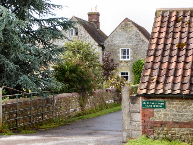 | 640 × 480 (176 KB) | GeographBot | == {{int:filedesc}} == {{Information |description={{en|1=St Algar's Farm This farm is just within the square and the only significant habitation in ST7841. It illustrates how the Ordnance Survey Grid imposes itself arbitrarily on human and geophysical bou |
File usage
The following pages on the English Wikipedia use this file (pages on other projects are not listed):
Global file usage
The following other wikis use this file:
- Usage on www.wikidata.org