File:St Charles MO BPOE.JPG
This is an image of a place or building that is listed on the National Register of Historic Places in the United States of America. Its reference number is 70000856.
Summary
| Description |
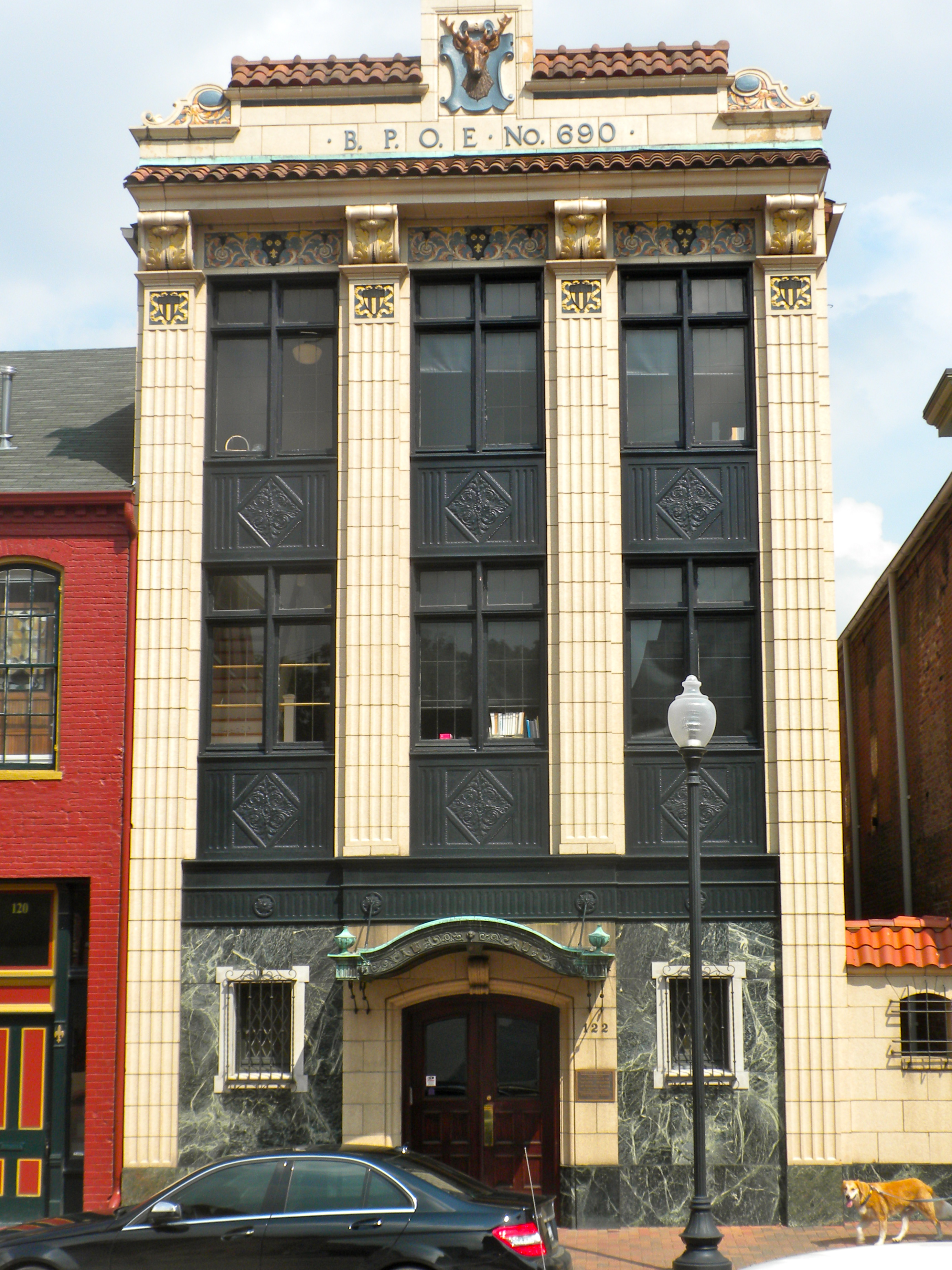
St. Charles, Missouri BPOE (Elks Club) at 122 S. Main. This is part of the St. Charles Historic District, on the NRHP since September 22, 1970. The boundaries are as messy as any HD on the NRHP, but it basically goes from Adams Street in the north to Chauncey - Boone's Lick Rd in the south, along the Missouri River for about 1.5 miles, and inland to 2nd Street, including Main Street. Official boundaries are roughly bounded by the Missouri River and Madison, Chauncey, and 2nd Sts.; also 1000 S. Main St.; also bounded by Madison, 2nd, Jefferson, and the alley behind the 100 block of S. Main St.; also the 100, 200, and 300 blocks of N. Main St., in St. Charles Second, third, and fourth sets of boundaries represent boundary increases of June 4, 1987, May 1, 1991, and October 10, 1996 respectively |
| Date | |
| Source | Own work |
| Author | Smallbones |
| Camera location | | View this and other nearby images on: OpenStreetMap |
|---|
Licensing
| I, the copyright holder of this work, release this work into the public domain. This applies worldwide. In some countries this may not be legally possible; if so: I grant anyone the right to use this work for any purpose, without any conditions, unless such conditions are required by law. |