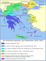
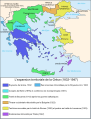
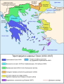
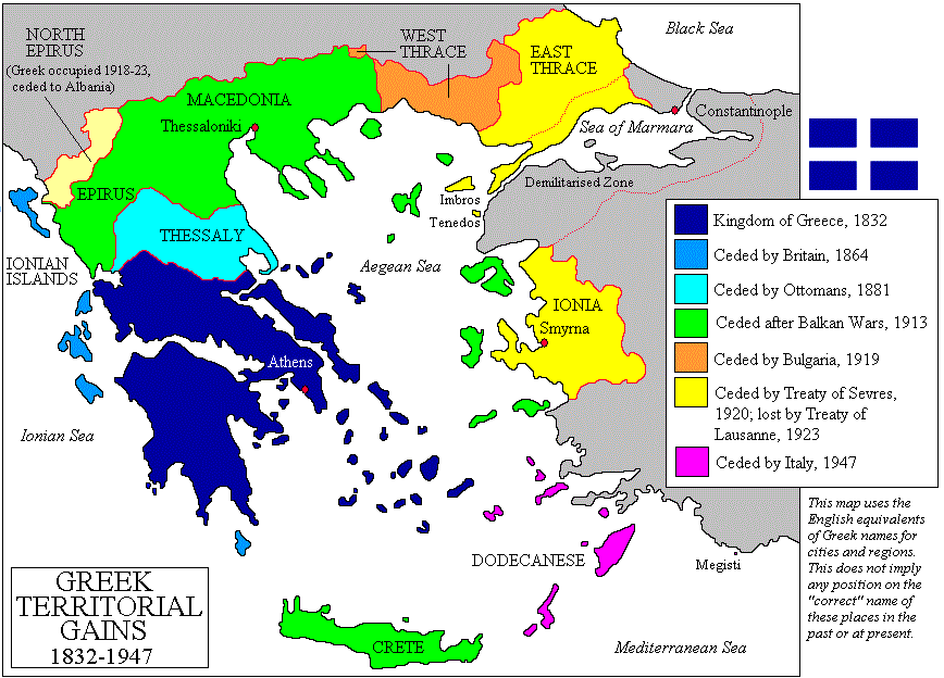
File:Territorial Expansion Of Greece From 1832–1947.gif
Derivative works of this file: Greek history from 1832.GIF
[]
-
 čeština
 -
 dansk
dansk -
 Deutsch (PNG)
 -
 Deutsch
 -
 Deutsch 2
 -
 English (GIF)
 -
 English (GIF)
 -
 English (PNG)
 -
 English
 -
 español (PNG)
 -
 español
 -
 euskara
 -
 euskara
 -
 français
 -
 hrvatski
 -
 italiano
 -
 magyar
 -
 Nederlands
 -
 occitan
 -
 Türkçe
 -
 Ελληνικά (GIF)
 -
 Ελληνικά
 -
 Ελληνικά
 -
 македонски
 -
 српски (ћирилица)
 -
 українська
 -
 հայերեն
 -
 日本語
日本語 -
 中文(中国大陆)
 -
 文言
文言 -
 עברית
עברית -
 עברית
עברית -
 العربية (PNG)
 -
 العربية


.PNG)


.png)


