File:The Aral Sea (MODIS 2019-10-11).jpg
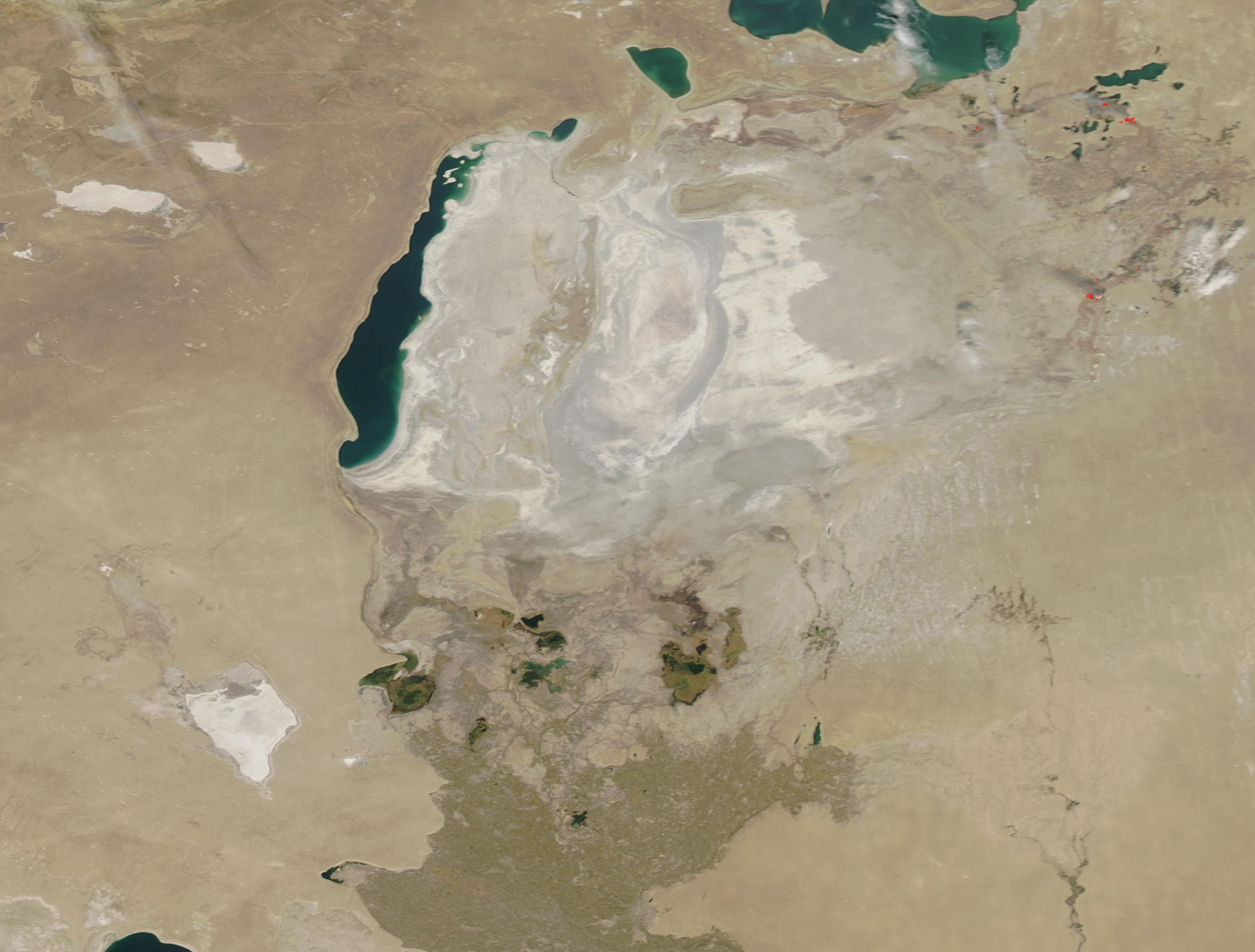
In the 1960s, the Soviet Union undertook a major water diversion project on the arid plains of Kazakhstan, Uzbekistan, and Turkmenistan. The region’s two major rivers, the Syr Darya and Amu Darya, which flowed from the mountains to feed the Aral Sea, were diverted to transform the desert into farms for cotton and other crops. While a success for farming, the diversion of the rivers proved disastrous for the Aral Sea and the people who have made their living from it and who enjoyed the vast waters and the fish, birds, and beautiful seashores the lake supported.
On October 7, 2019, the Moderate Resolution Imaging Spectroradiometer (MODIS) on board NASA’s Aqua satellite acquired a true-color image of the modern Aral Sea. The former lakebed is covered with saline mineral precipitate and dust, coloring it in light tans and grays.
This image or video was catalogued by Goddard Space Flight Center of the United States National Aeronautics and Space Administration (NASA) under Photo ID: 2019-10-11. This tag does not indicate the copyright status of the attached work. A normal copyright tag is still required. See Commons:Licensing. Other languages:
|


.jpg)